

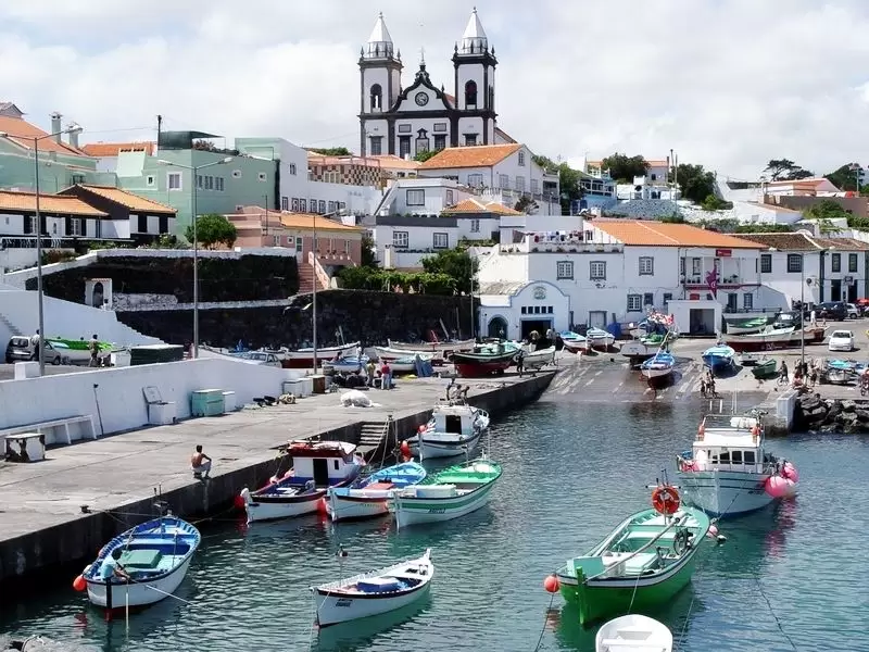
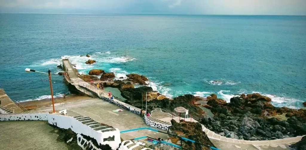
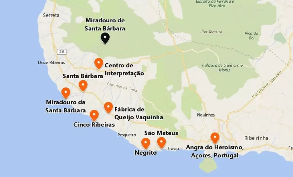
São Mateus da Calheta
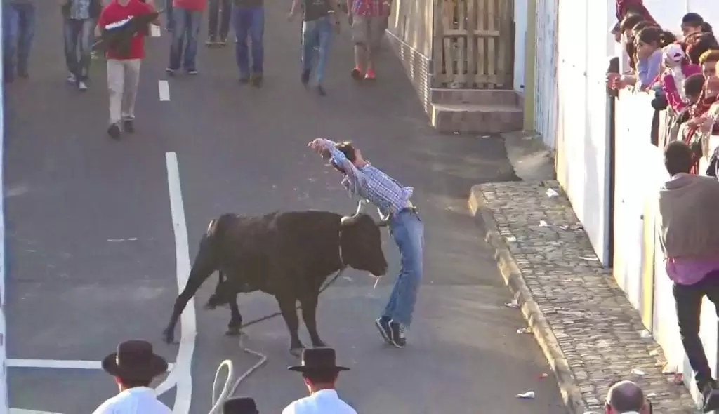
Just 3 km west of Angra is the beautiful parish of São Mateus. It has one of the most important harbours of the Azores where, in the summer, the famous bullfights (tourada à corda – the bull is semi-controlled by a rope around its neck) are celebrated.
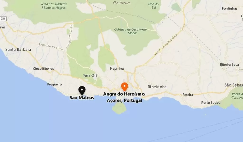
- Coordinates: 38.656183, -27.267972
The small, colourful boats draw a joyful spectacle, and the quay always sells fresh fish. Enjoy exploring the alleyways – nearby are 2 good seafood restaurants.
- Coordinates: 38.656737, -27.268342
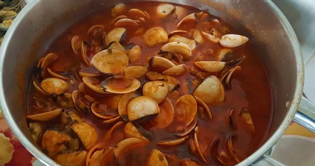
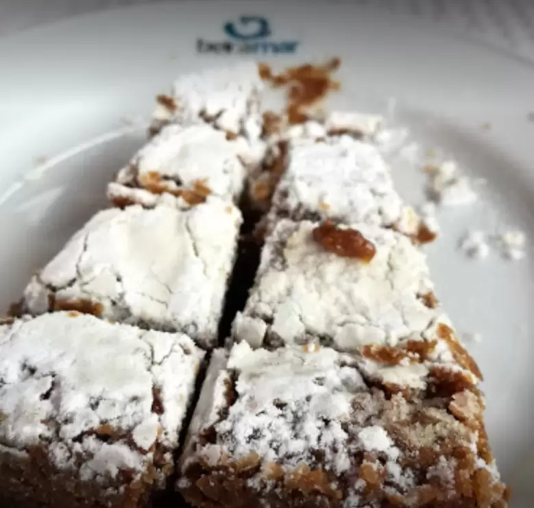
The most popular is the Beira Mar Restaurant in Canada Porto. The seafood soup on bread is recommended. With friendly, fast service, it has an excellent variety of fish and seafood.
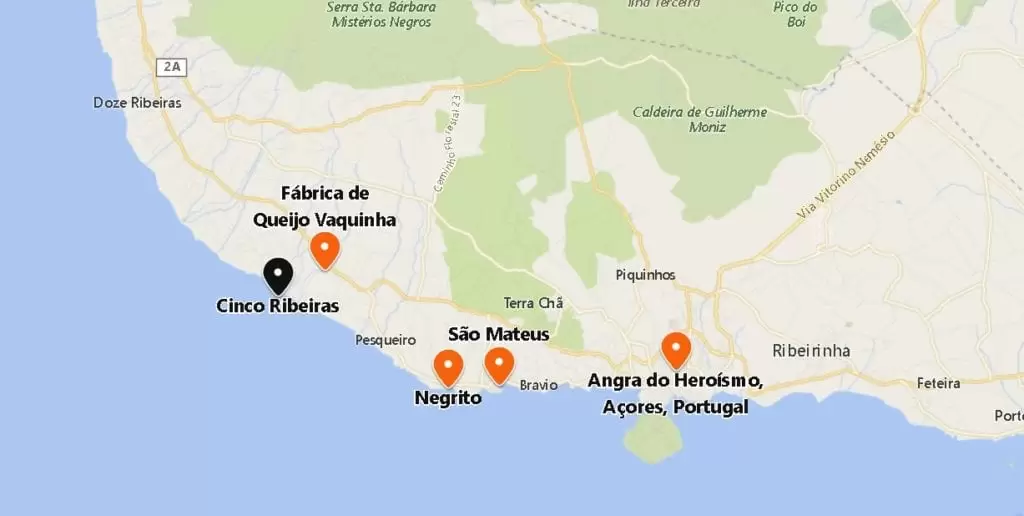
Negrito

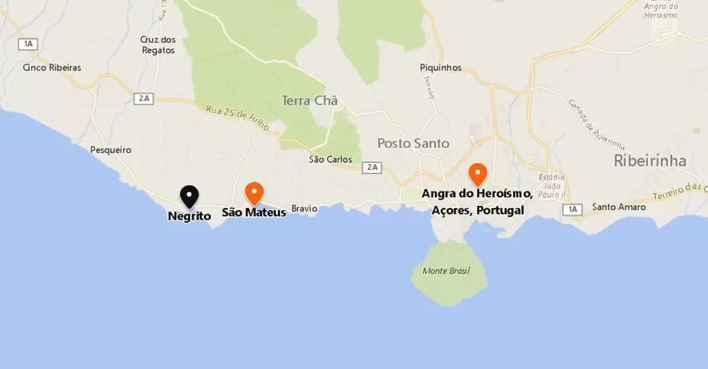
- Coordinates: 38.655582, -27.282014
At 1 km, you reach the Negrito bathing area with an old fort – small natural pool facilities and café-bar. Don’t forget the sun cream.
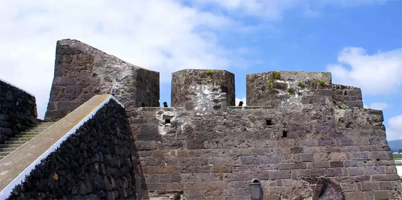
Negrito Fort was built as protection from the Spanish invasion after the death of King Dom Sebastião.
Today it houses a small but interesting museum. On the promontory at the foot is the Pousada da Juventude da Terceira, with beautiful views of the bathing area.
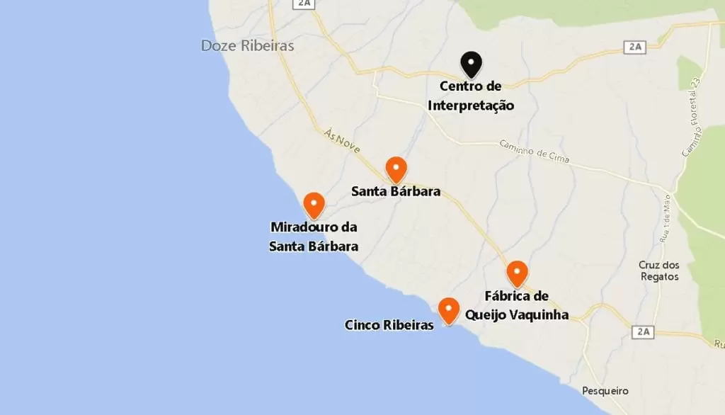
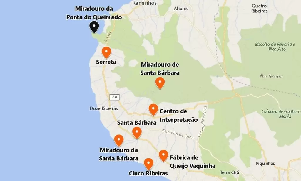
Vaquinha Cheese Factory
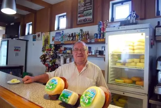
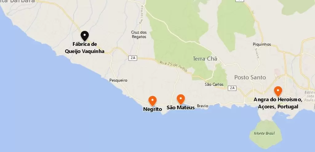
- Coordinates: 38.680802, -27.315769
Further on, 10 minutes drive northwest, comes Canada do Pilar. The narrow street leads us to the oldest cheese house on the island, Fábrica de Queijo Vaquinha – enjoy the 4 kinds of cheese while enjoying a coffee, not forgetting the fig honey and a delicious cake.
Cinco Ribeiras Bathing Area
- Coordinates: 38.675359, -27.328624
Continuing through Canada do Pilar, you will be rewarded with a beautiful and refreshing swim at the Cinco Ribeiras Bathing Area, a harbour with natural pool facilities. It has all the bathing support services and, nearby, camping under trees.
Nearby you will see the remains of a small fort (16th century) built by order of Ciprião de Figueiredo to hinder the Spanish invasion.
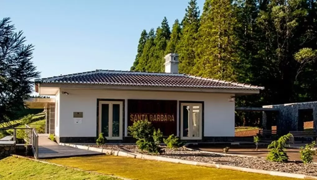
Santa Bárbara
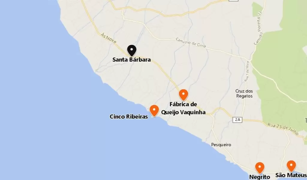
- Coordenadas:38.696212, -27.338646
From Quatro Ribeiras, it’s 10 minutes north to the Santa Barbara farming community, to its white-painted houses and beautiful countryside views of Terceira.
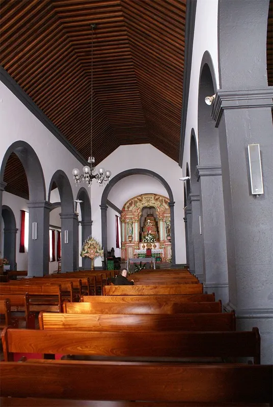
The architecture of the beautiful Santa Bárbara parish church suggests the 16th century.
Inside, you notice that the furniture in the sacristy is made of jacaranda and other tropical woods. We see a 17th-century organ – it came on a ship repaired in the port of Angra and bound for Macau.
The bishop of Angra fell in love with the organ and asked the Crown to leave it in Terceira.
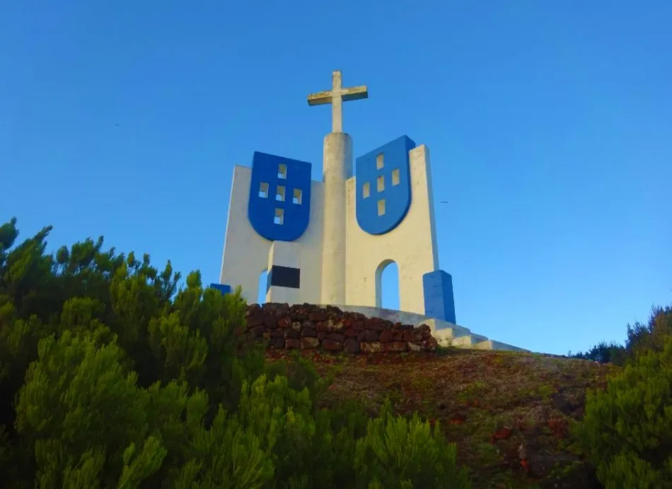
Santa Bárbara Viewpoint
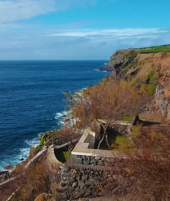
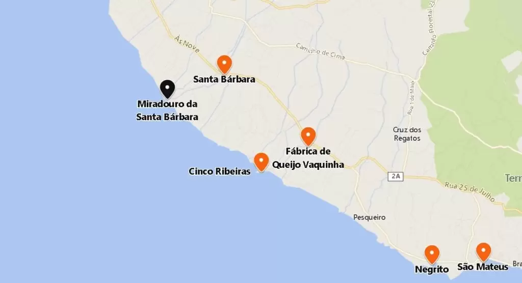
- Coordinates: 38.690932, -27.354196
Head down towards the coast, 3km, to the charming Santa Bárbara Viewpoint, with a family snack area and small bullring. Provides views of the brave west coast and the imperious ocean. Back on the road, a signpost guides you to the Santa Bárbara Mountains; take the side road to get to the top.
Interpretation Centre of Santa Barbara Mountain
- Coordinates: 38.711744, -27.324452
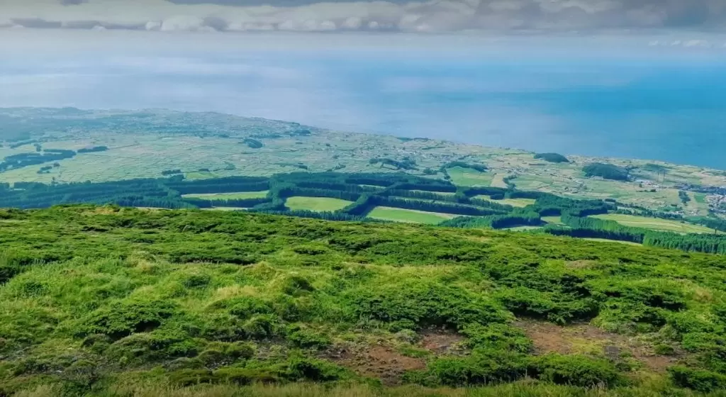
After 5 km, through hydrangeas in the island’s interior, you see the Serra de Santa Bárbara Interpretation Centre – with a small exhibition about the island’s formation, its fauna and flora, explained by a park guide.
It is the largest natural park in the Azores. This way, you will appreciate the nature surrounding you on the way up. It costs three euros.
Santa Bárbara mountain viewpoint
- Coordinates: 38.729659, -27.318718
At some point, the vegetation changes to towering cryptomeria. In 10 minutes, you will see the Miradouro da Serra de Santa Bárbara, the highest point of Terceira, with a unique view of the “patchwork” under the shimmering sea.
If the day is clear, you will see the islands of the central group, namely São Jorge and the unmistakable Pico – but if you don’t go during the summer, you encounter fog.
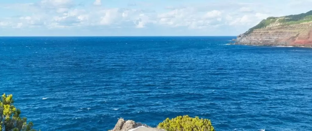
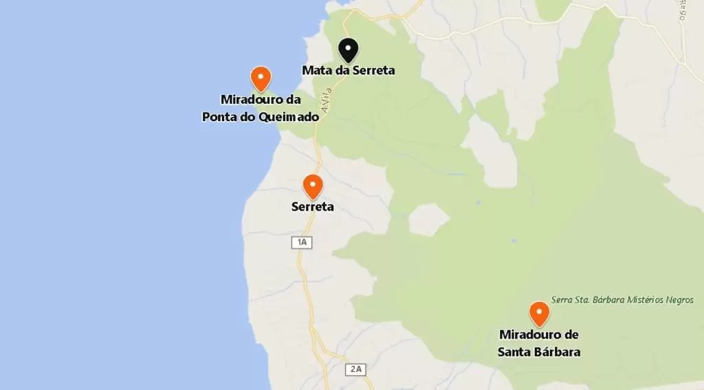
Serreta
Continuing north, uncover the rural Serreta, a small but essential parish – the Nossa Senhora dos Milagres Church houses the image of Nossa Senhora dos Milagres, the target of an important pilgrimage and promises. Its festival takes place on the 2nd Sunday in September.
Facing the church is the joyful Empire of the Divine Holy Spirit of Serreta. You can see the rustic restaurant in the village, Ti Choa (Rua Grota do Margaride): friendly people and delicious food.
- Coordinates: 38.747960, -27.364882
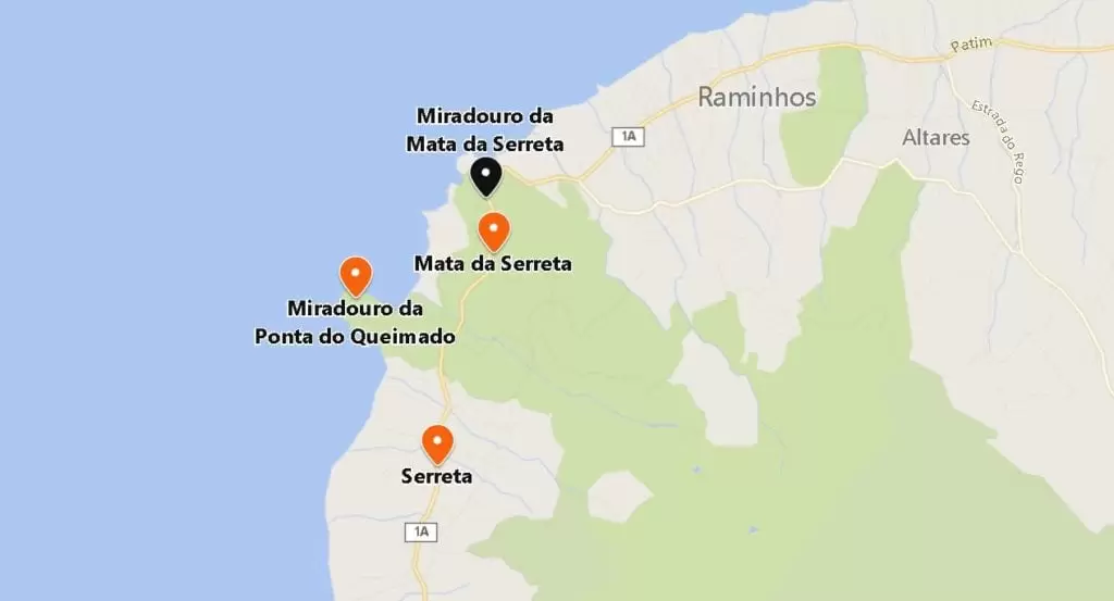
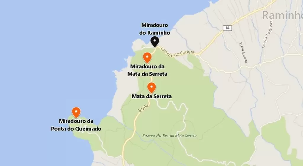
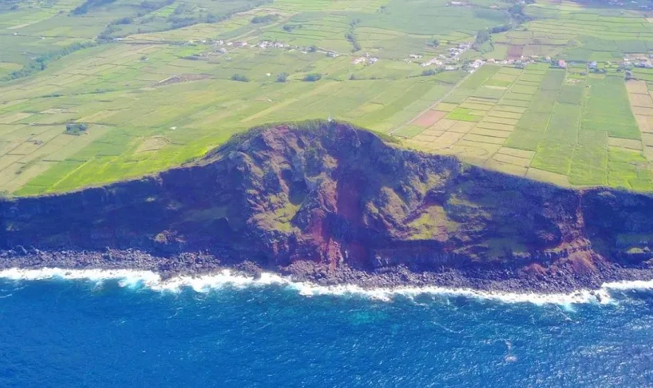
Ponta do Queimado Viewpoint
Continuing northwest, 4 km towards the coast, you will see the Ponta do Queimado viewpoint, where the restless ocean crashes into the cliffs.
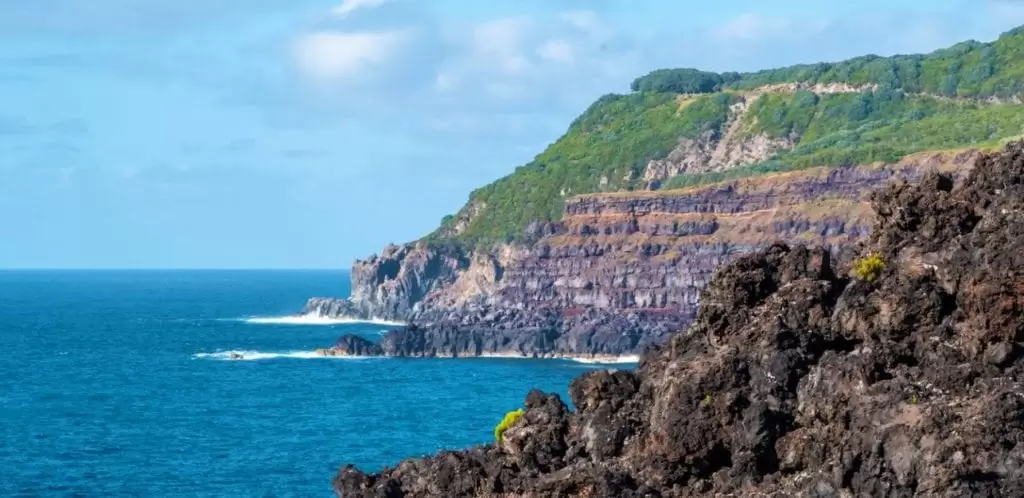
- Coordinates: 38.767045, -27.375575
Get out of the car and explore the paths of this beautiful area – many locals take the opportunity to fish here. Halfway between here and Raminho is the Serreta Forest Reserve which offers numerous trails and picnic areas.
Serreta Forest
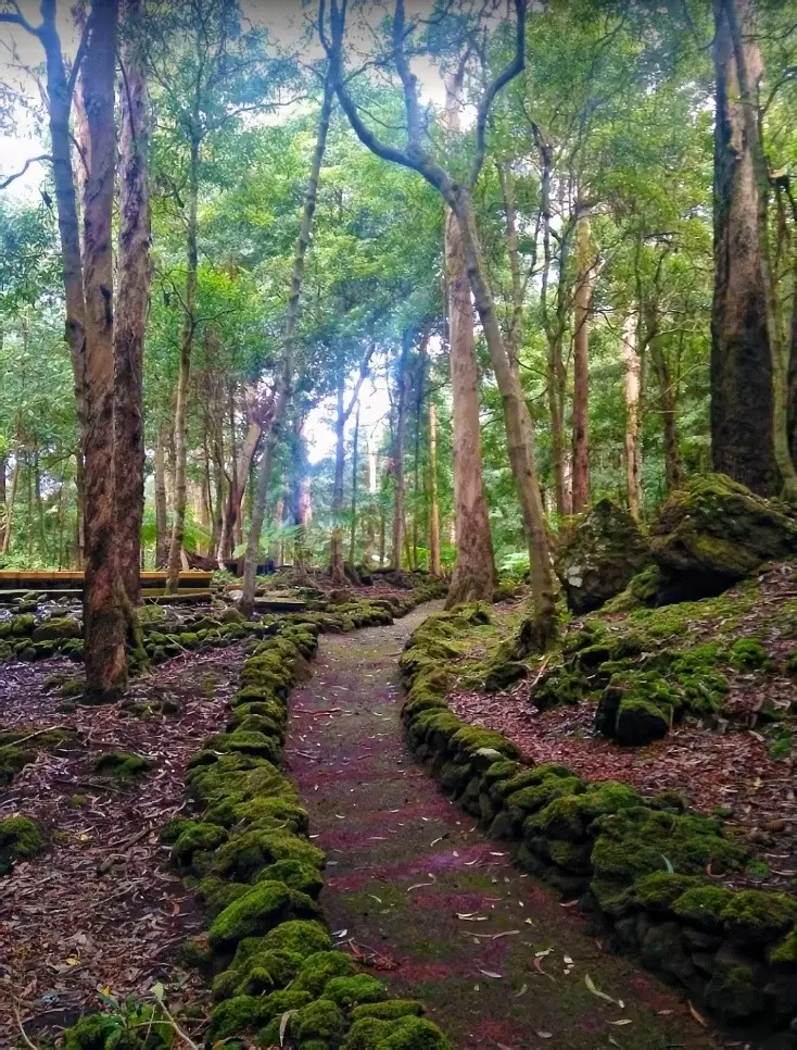
- Coordinates: 38.771648, -27.357647
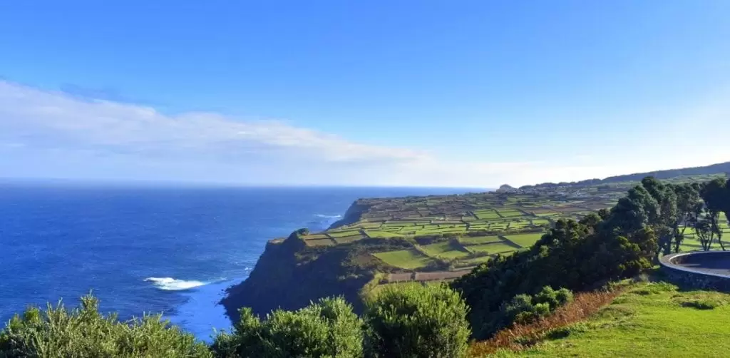
Travelling along the beautiful road surrounded by trees, in less than 10 minutes, you discover the charming Mata da Serreta, a 15-hectare nature reserve with a leisure and picnic area with a wood-burning oven. It is a beautiful opportunity to breathe the abundant pure air and take some photographs in communion with nature.
Serreta Viewpoint

- Coordinates: 38.777190, -27.358684
Back on the road to the north, you see the Mata da Serreta Viewpoint on your left in just over a minute. If luck smiles on you, you’ll glimpse the islands of Pico, São Jorge and Graciosa in the distance, something that will cheer up even the sleepiest among us.
Raminho Viewpoint
- Coordinates: 38.780182, -27.356933
500 metres away, you’ll find Raminho Viewpoint – another delightful viewpoint of the island’s coastline and an excellent place to spot birds. It has parking and picnic tables under the trees. Nearby you see an old whale-watching post. On a clear day, you will see the islands of São Jorge and Graciosa.
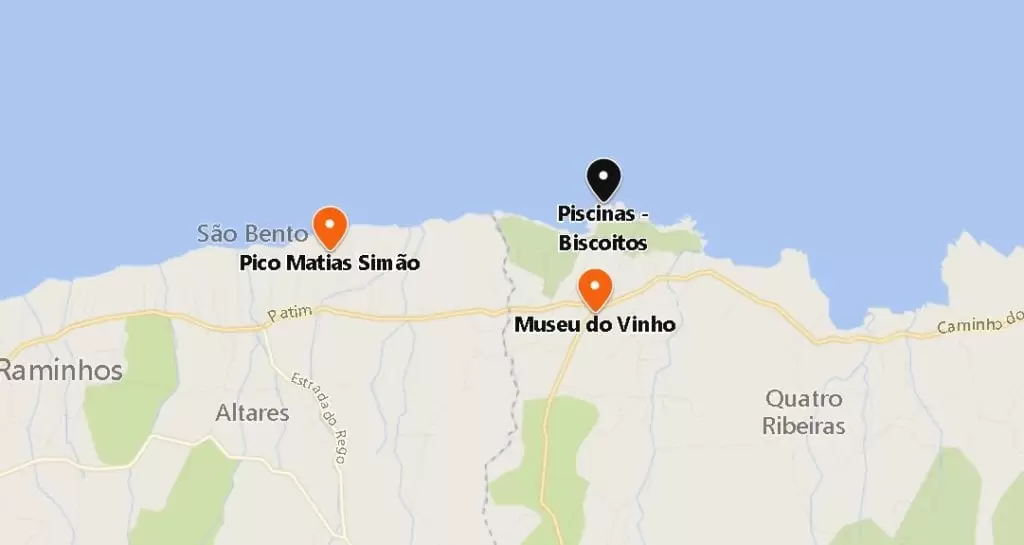
Matias Simão Peak Viewpoint (Altares)

- Coordinates: 38.798585, -27.290800
A 10-minute drive westwards crosses the parish of Altares. Turn onto a gravel road that guides you to the Matias Simão Peak viewpoint.
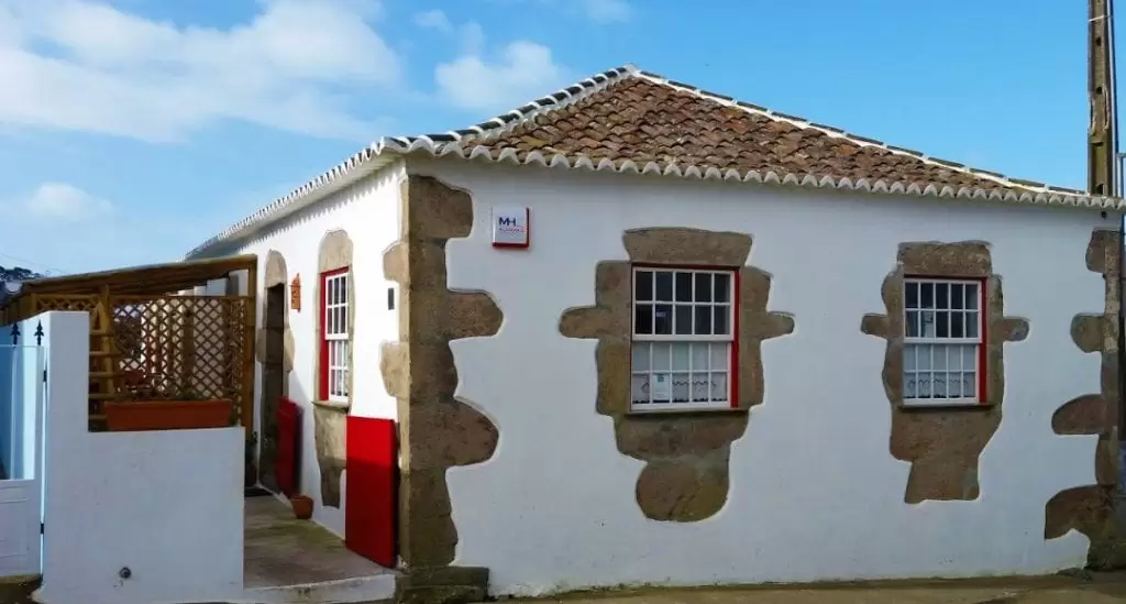
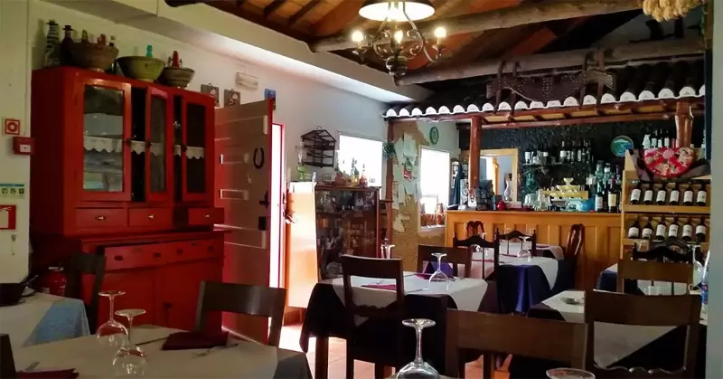
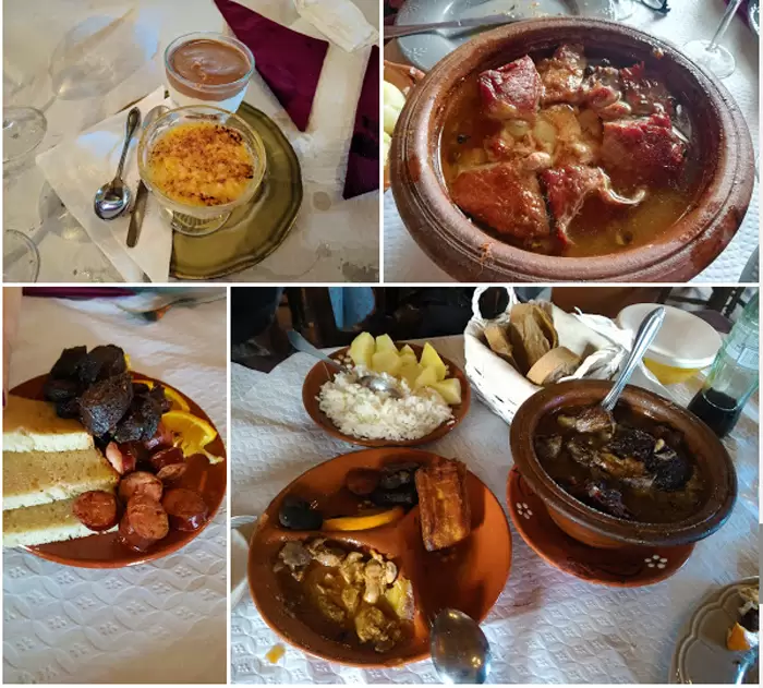
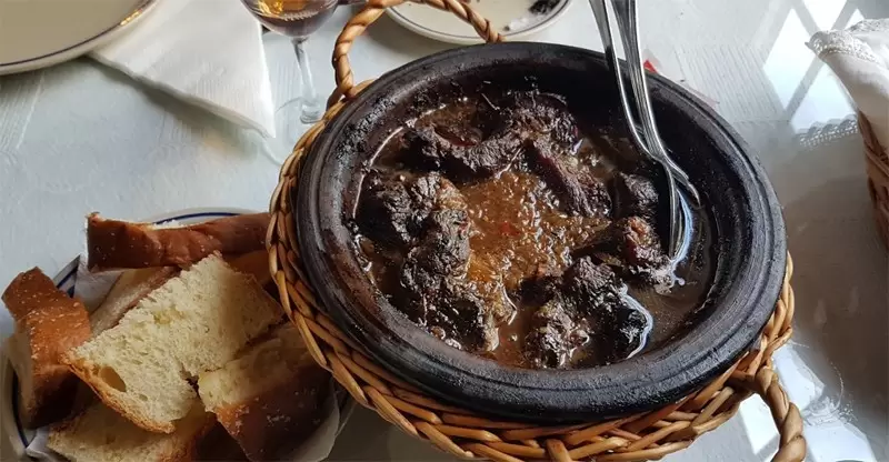
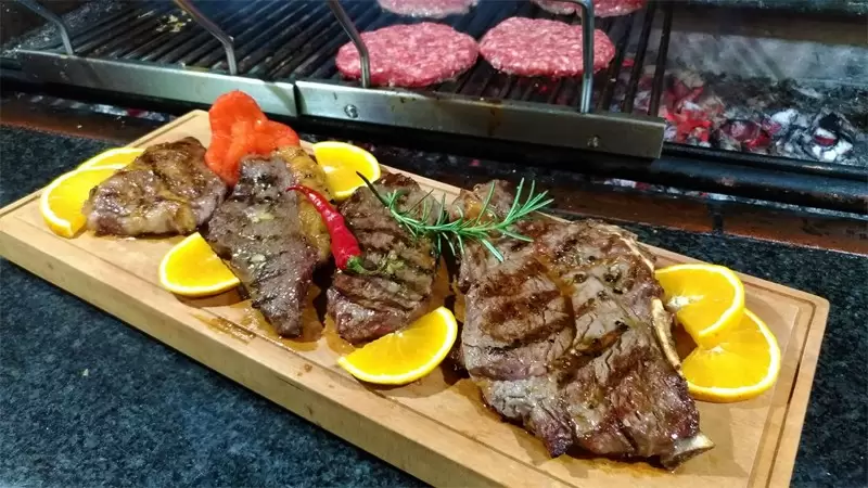
It’s worth the walk-up. You are graced with views of Altares confined by agricultural fields and the ocean. In this locality, you discover Caneta Restaurant on As Presas street – known on the island for the quality of its dishes.
- Coordinates: 38.791168, -27.305163
Try the regional Alcatra, here made with self-produced meat – the meat boards are also good.
Biscoitos
- Coordenadas: 38.791891,-27.260127
Biscoitos have always been intriguing. The last eruption was in 1761 when lava flowed from around Pico do Gaspar. Its wine (Verdelho) is famous and consumed on the large ships bearing Christ’s Order’s cross (during the Age of Discoveries).
Wine Museum
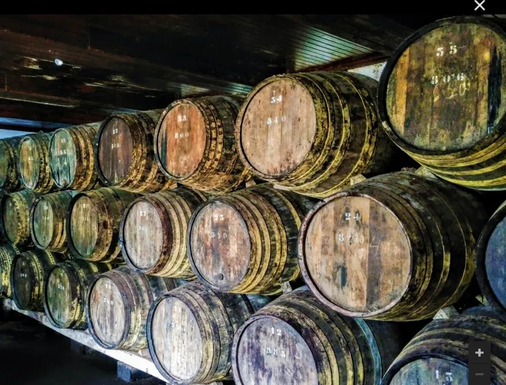

- Coordinates: 38.792778, -27.258745
At biscoitos, turn right to Canada do Caldeiro, where we find the Wine Museum. With sympathy, you will be explained the process of producing the Verdelho wine.
Here the soil has always been difficult for any agricultural product, and the success of the vineyards is testimony to the locals’ resilience.

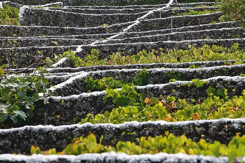
At the end of the village, there is a small roundabout; turn left towards the sea to see the vineyards and small belts of square-shaped walls (curraletas) that run down to the sea.
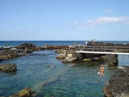
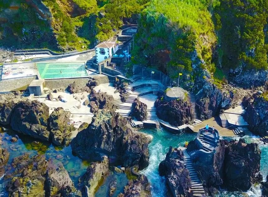
Biscoitos Natural Pools
- Coordinates: 38.803179, -27.257649
Turn east and continue parallel with the sea. You soon see the Biscoitos Natural Swimming Pools and the robust cliffs that protect them.
They are supervised by lifeguards during the bathing season, with a bar, toilets, showers and tourist shops. If you come in winter, you will wonder how to bathe in such a stormy sea.
If you come in summer, you see an idyllic place with calm, warm waters and enchanting sunsets. In this sense, it does justice to the islanders’ personalities.
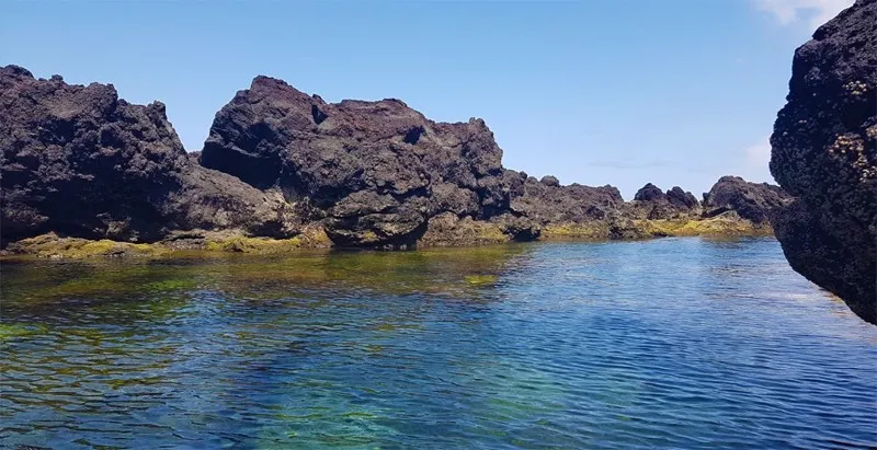
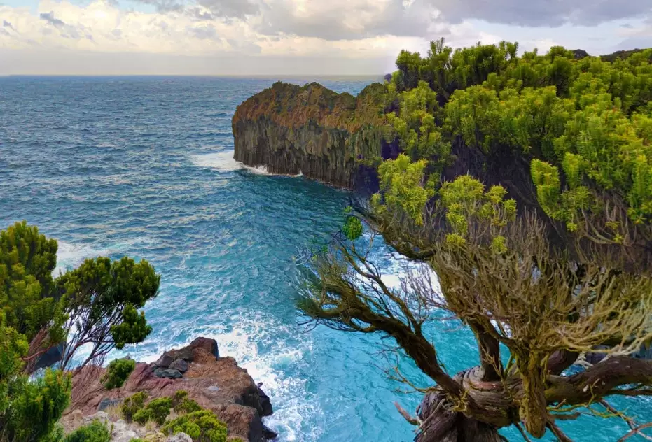
Four Rivers Bay

- Coordinates: 38.791671, -27.224798
Taking the road back, you have Four Rivers Bay, 5km to the west. It is a region of high and steep cliffs. Go down the stairs and see one of the most beautiful natural pools on the island. Warm water watched in the summer with a café bar.
Agualvas Bay
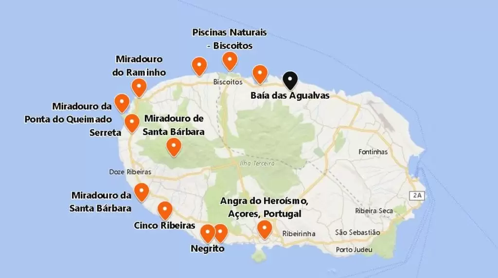
- Coordinates: 38.786469, -27.191508
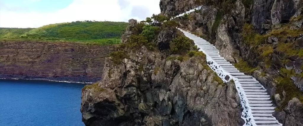
If you have time, venture out on the fantastic Agualvas Bays trail. It starts near Pico dos Loiros. It takes 2 hours, walking through traditional pastures, the endemic grove of the island, near the abrupt cliffs. It is well signposted and relatively easy to access.
More on Terceira Island

