

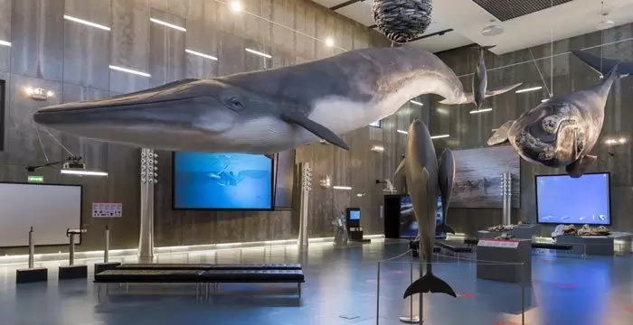
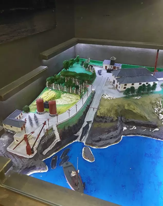
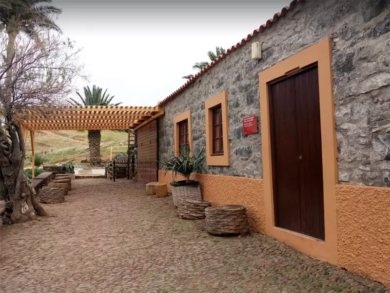
Caniçal and the Whale Museum
- Coordenadas: 32.735829,-16.740476
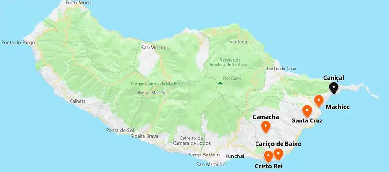
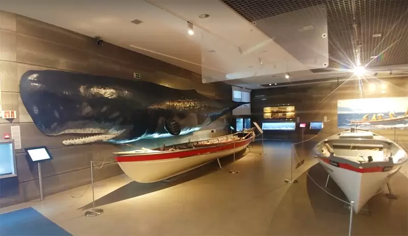
Although you will quickly reach Caniçal via the new road from Machico, it is fun to follow the old road (20 minutes drive from Machico), piercing Pico do Facho through a tunnel. The settlement is known as the Whale Museum, which tells of the whaling industry that thrived in the past. Caniçal was a film location for John Huston’s Moby Dick (1956).
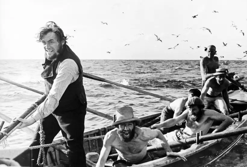
Gregory Peck even joined a local fleet to gain experience, and some locals took part in the film. Whaling ended in 1981, and the coastal area has since become a marine reserve.
Caniçal Beach
- Coordenadas: 32.742942,-16.715205
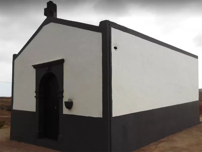
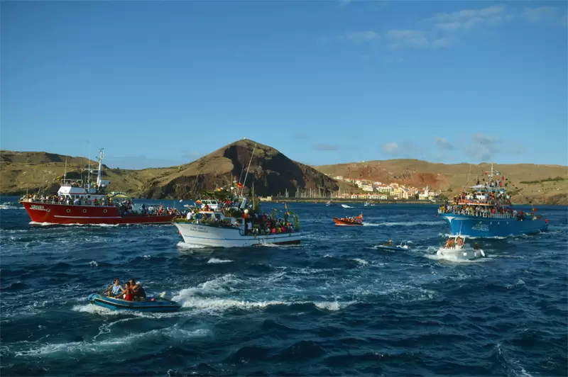
The small Caniçal Beach of grey sand and crystal clear water is a couple of kilometres away. Close by is the Nossa Senhora de Piedade Chapel. On the 3rd Sunday in September, the statue of Nossa Senhora de Piedade is removed from the chapel and accompanied by a procession of boats (Piedade Festivity) – at other times, the chapel is closed.
- Coordinates: 32.742635,-16.713215
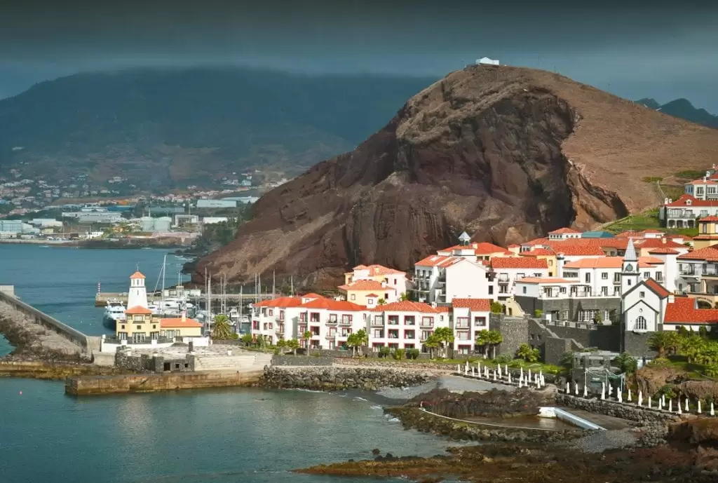
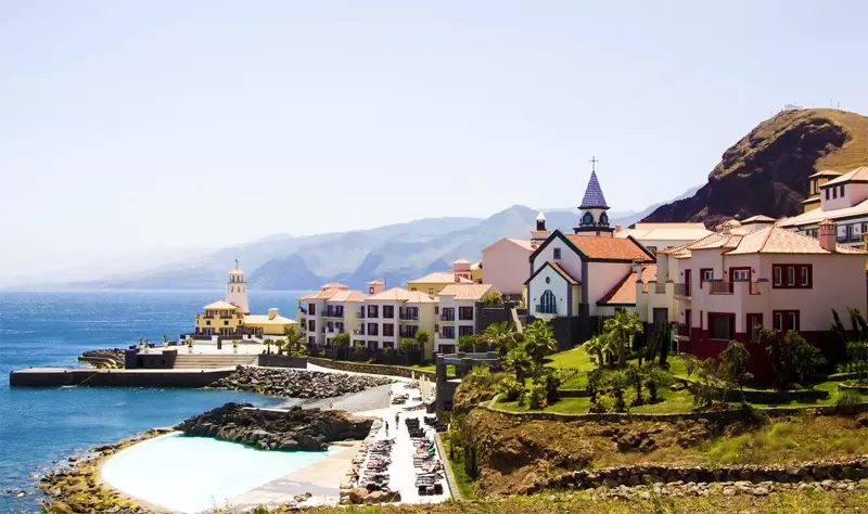
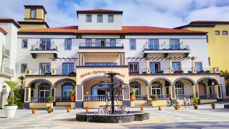
At 250 metres, you will see the Quinta do Lorde Resort – Hotel – Marina (Sitio da Piedade), the (5-star) resort in São Lourenço Bay, which resembles a small charming village. It perfectly combines comfort and tranquillity.
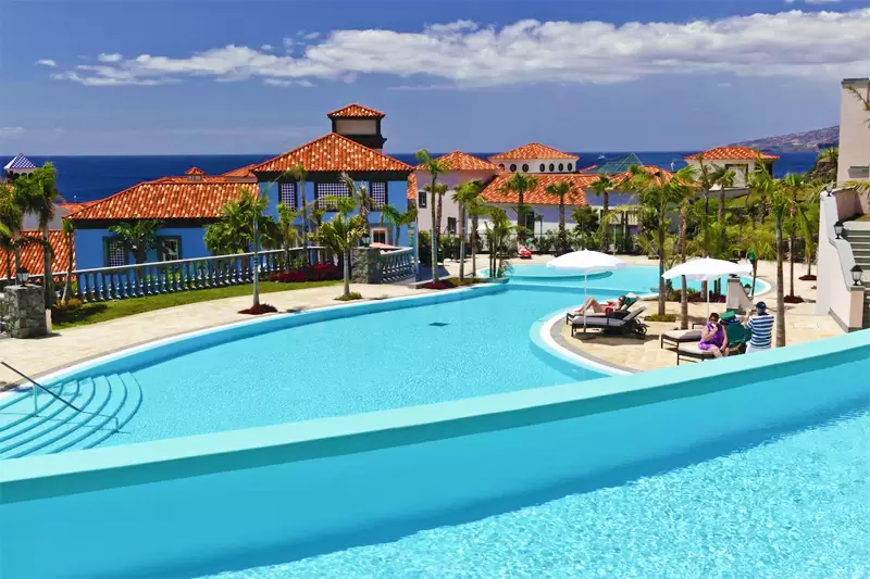
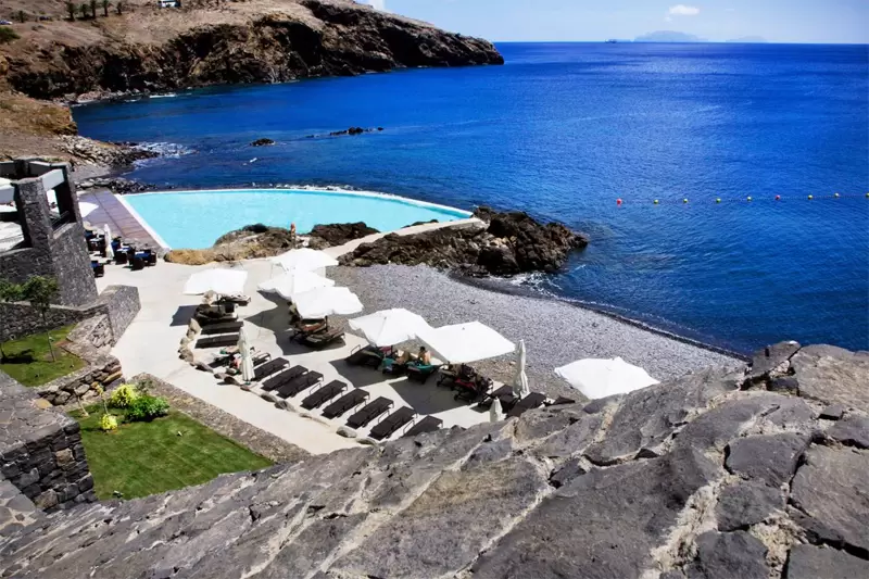
- Coordinates: 32.742692, -16.709729
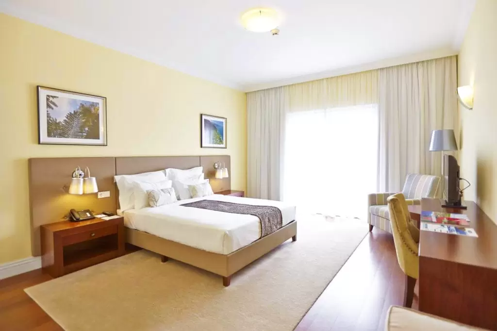
There are 3 swimming pools (one with sea access), a gym and a tennis court. In the small marina, you rent yachts. The rooms are spacious and pleasant – with a good breakfast.
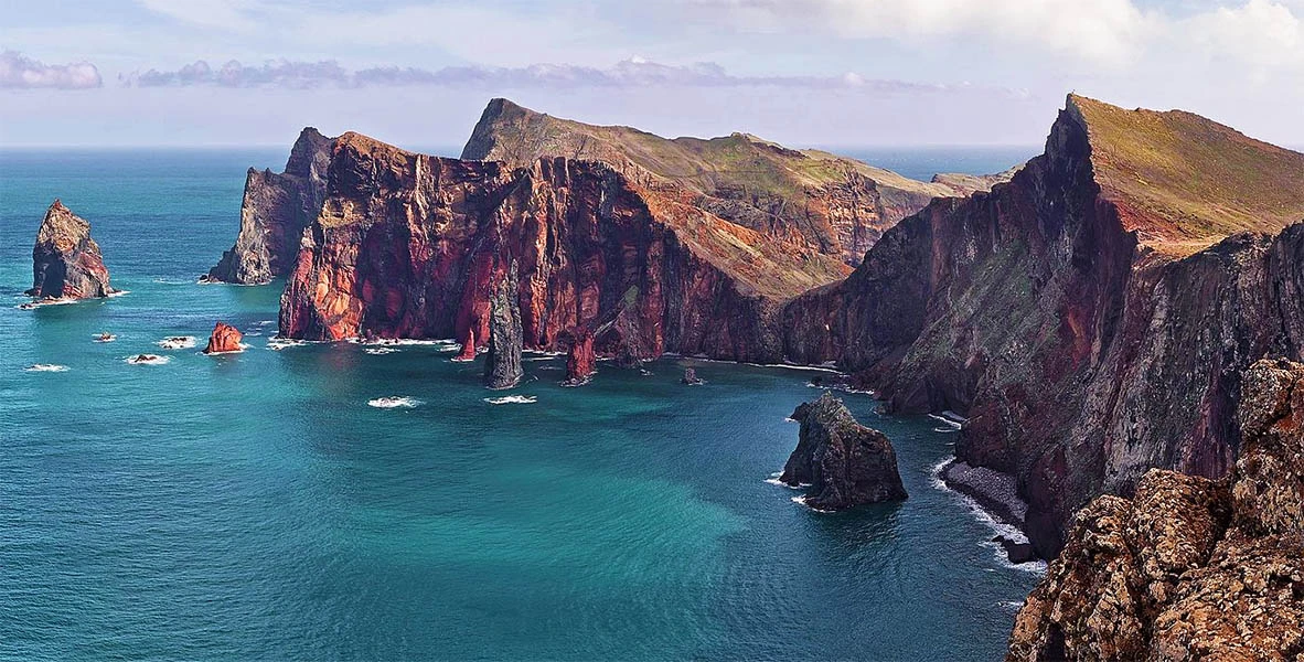
Northeast of the Island – Ponta de São Lourenço
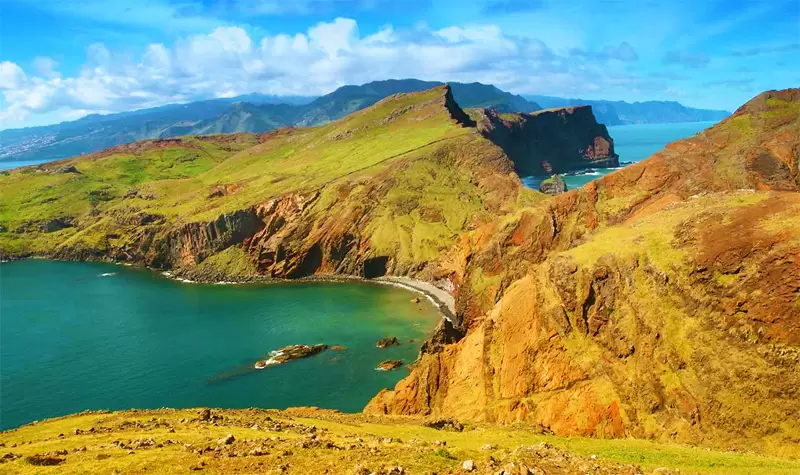
- Coordinates: 32.743151, -16.701002
The northeastern tip has a different feel to the rest of the island. The landscape is similar to the Desertas Islands, with vegetation made up of cacti and thistles by the beautiful Ponta do Rosto Viewpoint, with picnic tables under the dramatic cliffs.
- Coordinates: 32.749259, -16.706715
The road ends at the car park, marking the trail’s start to the tip of the peninsula. The walk (3 hours – round trip) is one of the most beautiful on the island.
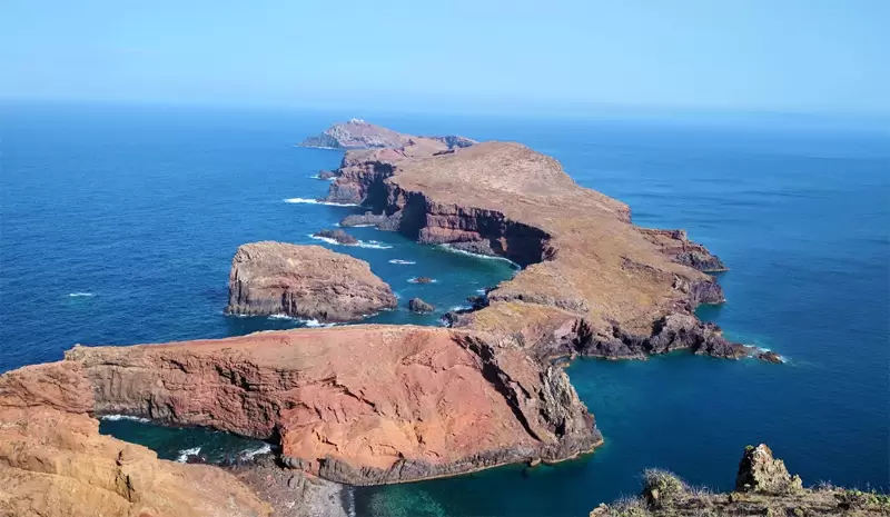
The path splits down to a beautiful pebbly beach and is left towards a coastal viewpoint. If you continue, you eventually reach the narrowest area of the headland, crossing thistles to Casa do Sardinha.
- Coordinates: 32.742150, -16.683465
In half an hour, you reach the tip of Ponta de São Lourenço: Ponta do Furado, which culminates in a beautiful panorama of the islets of Cevada and Farol.
- Coordinates: 32.738975, -16.681004