

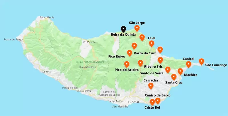
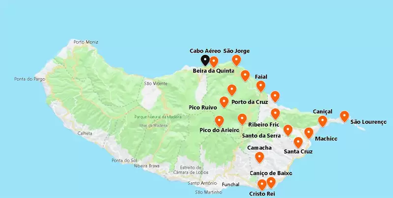
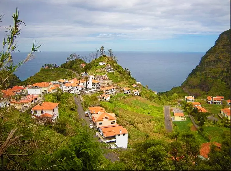
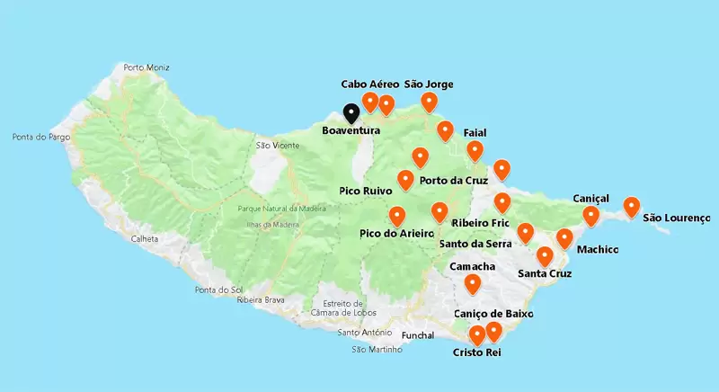
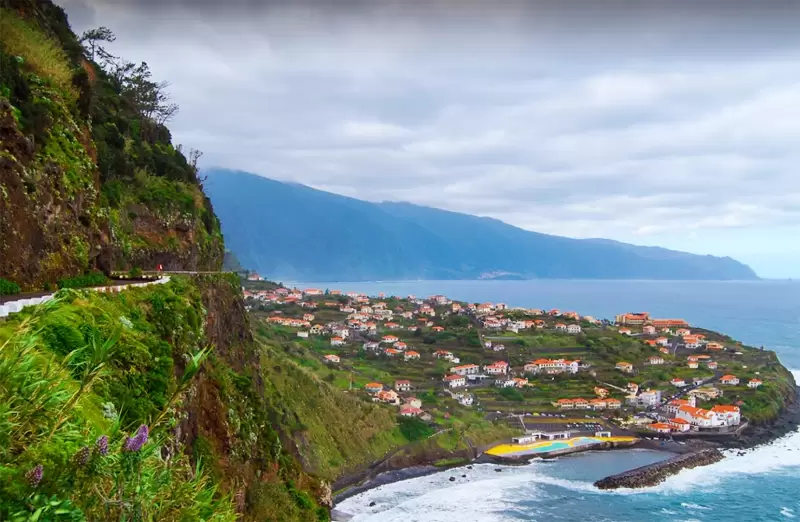
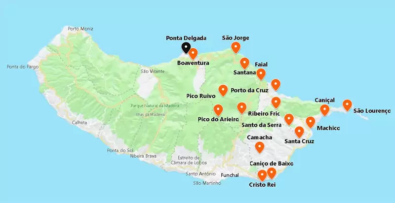
São Jorge (Santana)
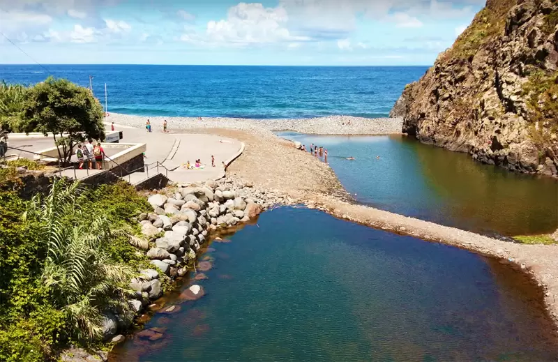
São Jorge is only 10 km from Santana. Before reaching the village, you will see the sign to Foz da Ribeira which culminates at the rocky São Jorge beach.
- Coordinates: 32.828883, -16.897666
Here you will find the Calhau de São Jorge Bathing Complex, a natural pool with its own restaurant and superb coast views.
- Coordinates: 32.828596, -16.897187
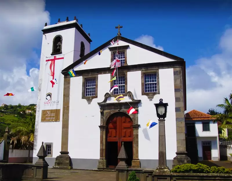
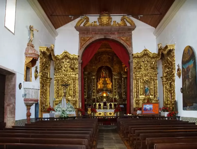
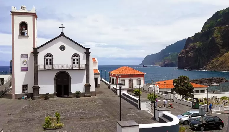
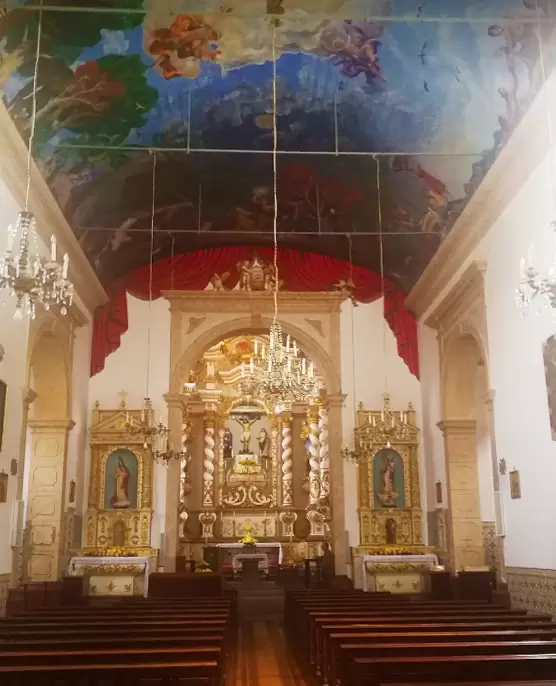
The centre of the parish is not much more than a cluster of well-preserved houses surrounding the baroque church (18th century). Inside you will see an elaborate altar of gilded woodcarving and a painting of Saint George slaying a dragon.
- Coordinates: 32.827318, -16.906985
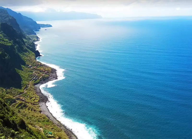
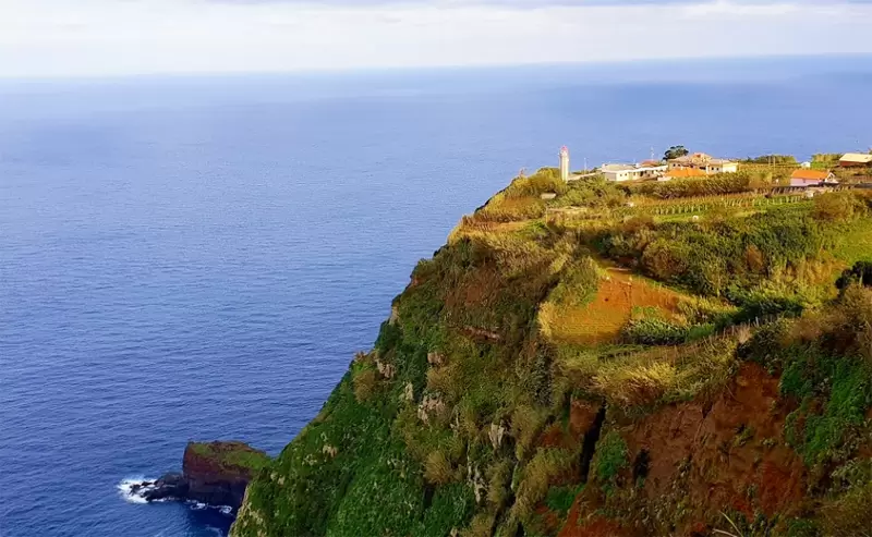
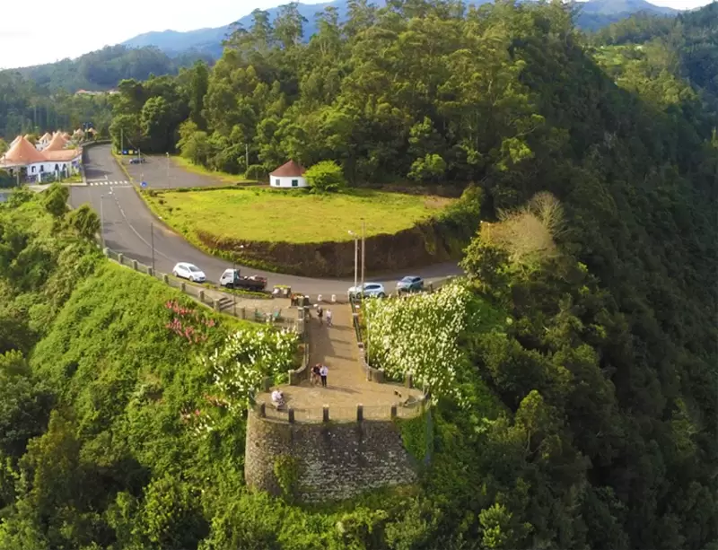
On the way to Ponta de São Jorge, which ends at the São Jorge Lighthouse (mid-20th century), you will observe traditional houses with thatched roofs. Just 1 km from the lighthouse is a beautiful viewpoint over the Atlantic Ocean – Miradouro da Vigia.
- Coordinates: 32.834236, -16.911416
If you continue on the road towards Arco de São Jorge, you pass another viewpoint, the Miradouro da Beira da Quinta, with a privileged view of the village of Arco de São Jorge.
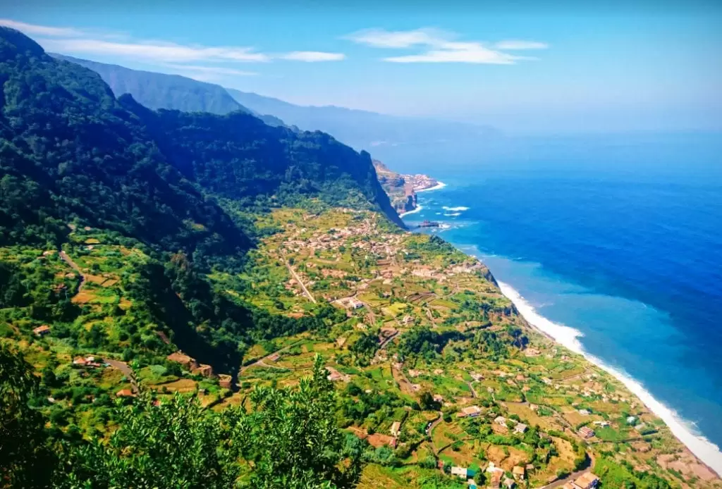
- Coordinates: 32.826467, -16.938894
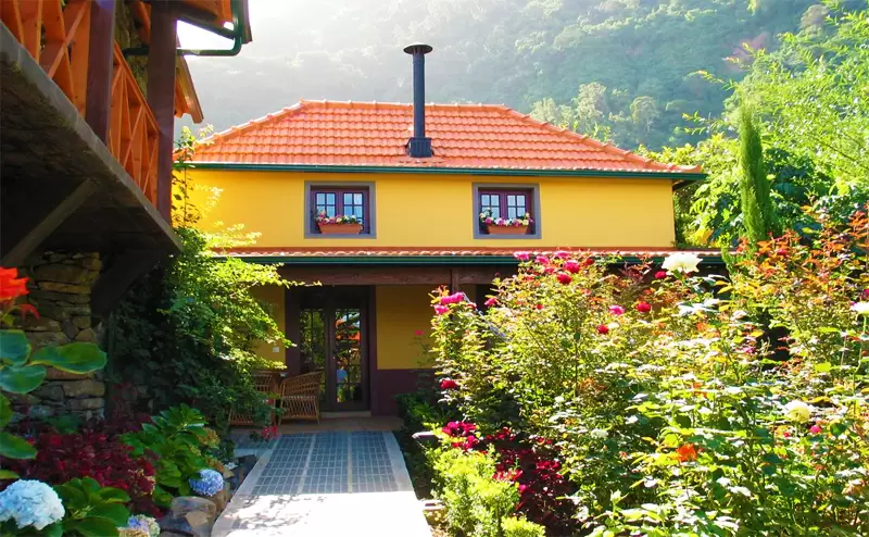
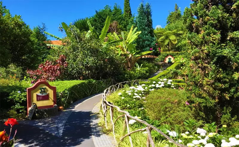
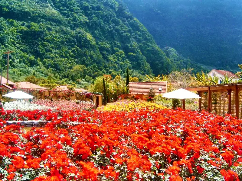
Arcos de São Jorge was one of the most impressive farms on the island, and it maintains a remarkable rose garden among the villas (kitchenette and balcony). In summer, most species (+700) are in flower, and the gardens become spectacular.
- Coordinates: 32.824425, -16.953129
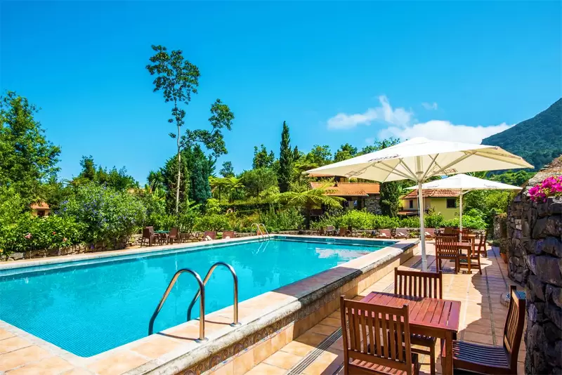
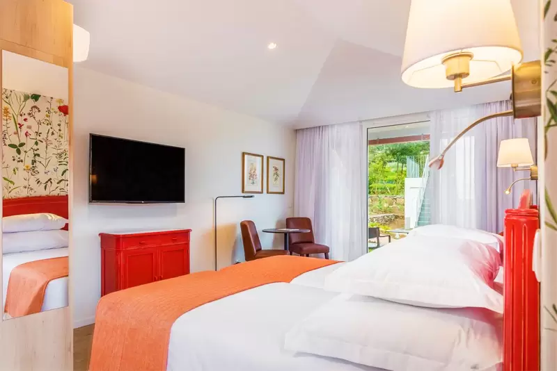
It is ideal for those seeking tranquillity. With comfortable rooms and 2 swimming pools. 1 km away from the Miradouro do Cabo Aéreo viewpoint.
- Coordinates: 32.828828, -16.954536
The old Arco de São Jorge road is one of the most dramatic, through the valley of the Ribeira do Porco and tunnelling towards new lush landscapes in Boaventura (20 minutes away).
Boaventura (São Vicente)
- Coordinates: 32.819637, -16.973208
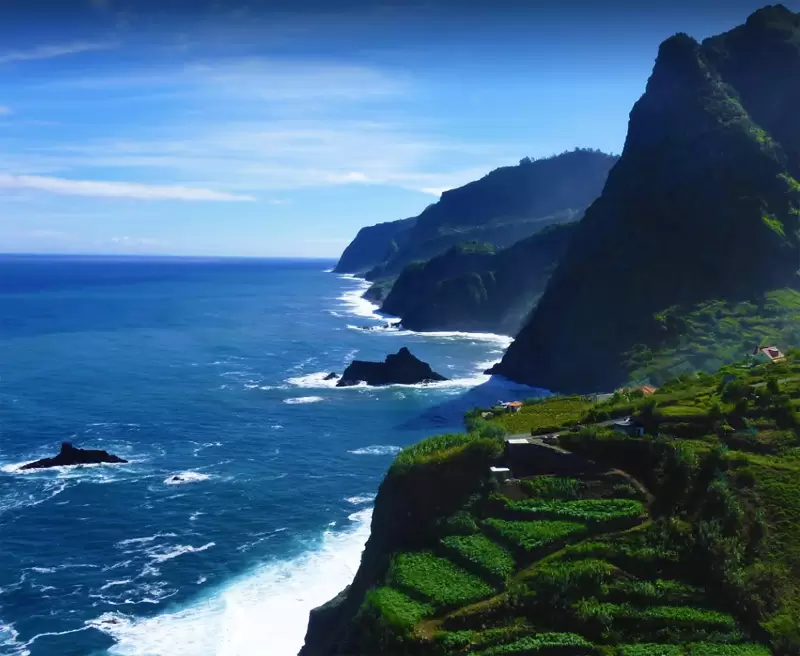
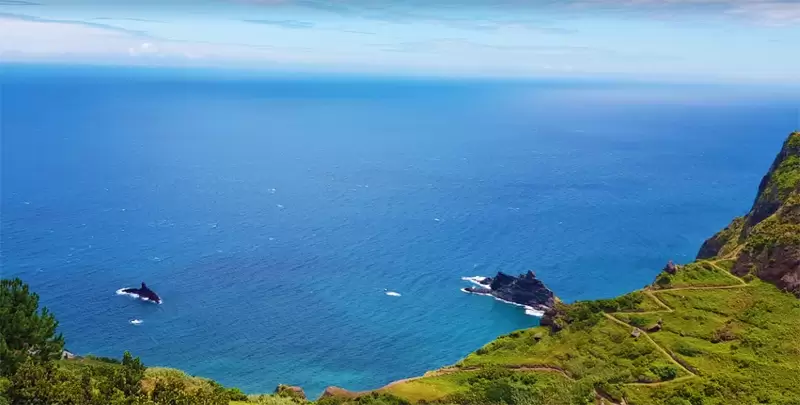
Boaventura is small and agricultural. Below the church, you see a sign leading to the Miradouro do Cemitério da Boaventura, with a magnificent view of the coast and mountains to the north. You’ll see 2 islets: the largest is called ilhéu do Porco, and the other is called ilhéu Vermelho.
- Coordinates: 32.822703, -16.973785
Ponta Delgada (São Vicente)
As we continue westward road, part of the landscape is the Laurissilva forest (so old that it is a UNESCO World Heritage Site). On the coast remains, almost unchanged, the parish of Ponta Delgada.
- Coordinates: 32.828520, -16.985522
The settlement is dominated by Bom Jesus Church, the focus of the pilgrimage and the Senhor Jesus Festivity (end of August), which commemorates the survival of a wooden crucifix.
- Coordinates: 32.828718, -16.985483
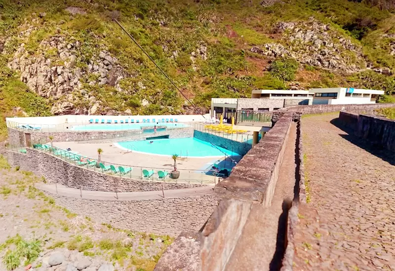
The chapel suffered a fire in 1908, but the crucifix survived and has a place of honour in the present church. A few hundred metres away is the delightful swimming pool, which in summer becomes the social centre of the parish – with changing rooms and café-restaurant.
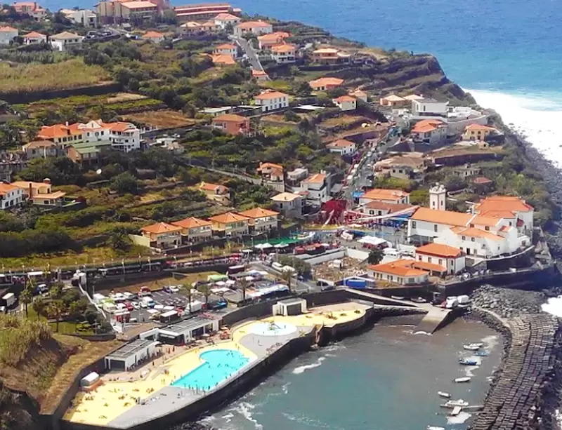
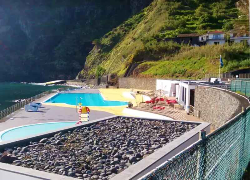
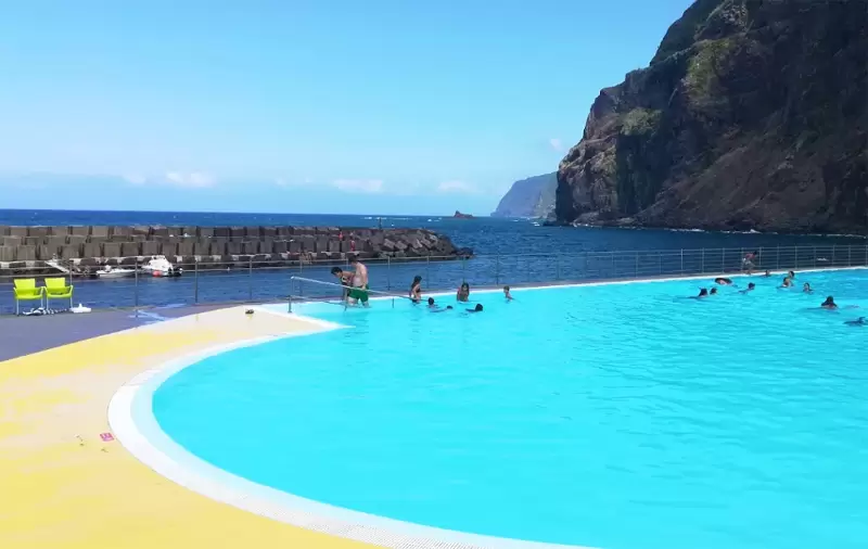
- Coordinates: 32.827986, -16.984971
Ponta Delgada is 10 minutes from São Vicente, from where you can access the modern VE4 road that crosses the island’s interior to the south – it’s 40 minutes to Funchal.


