

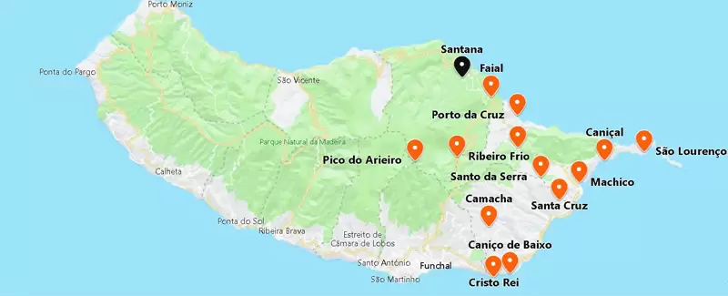
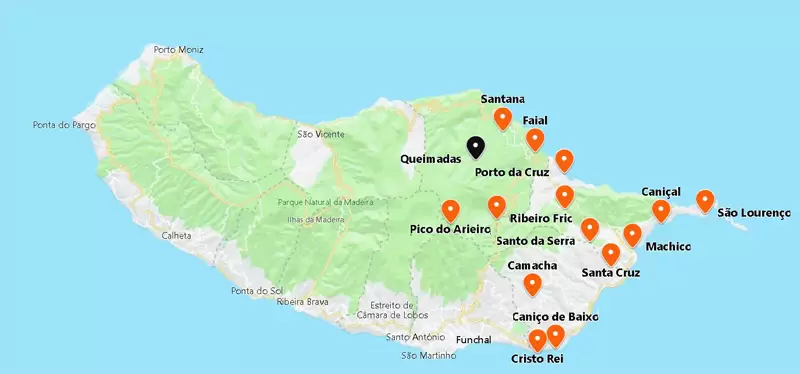
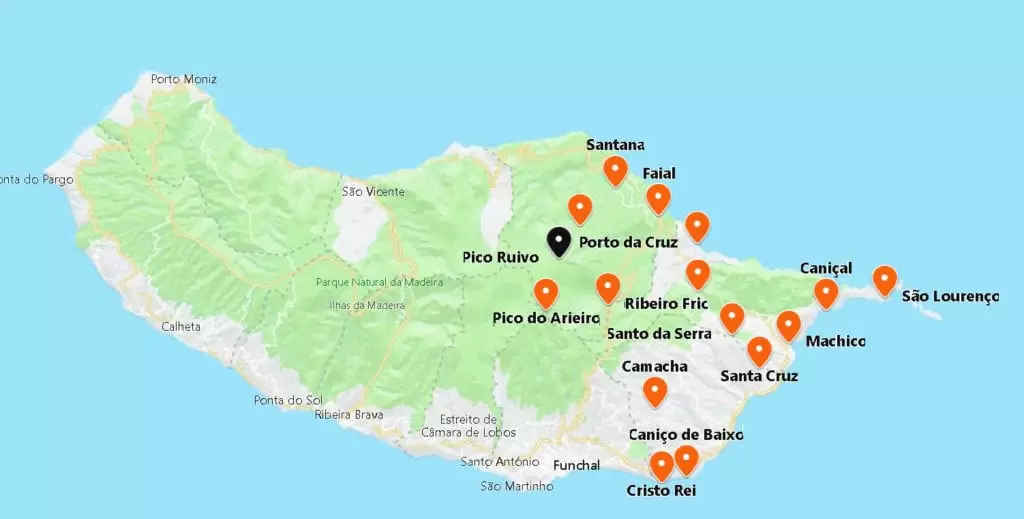
Santana
- Coordinates: 32.805233, -16.881841
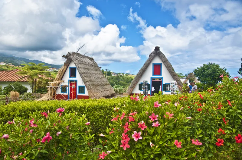
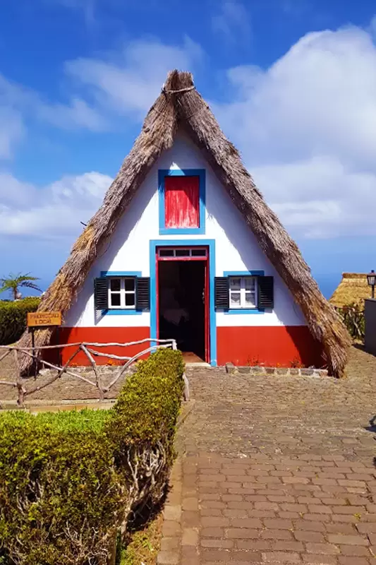
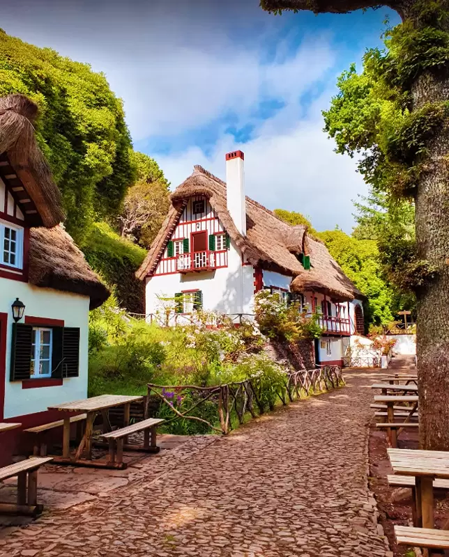
20 minutes from Machico emerges Santana and its typical triangular houses with thatched roofs. It is one of the best-known images of Madeira.
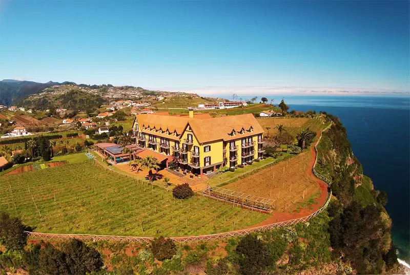
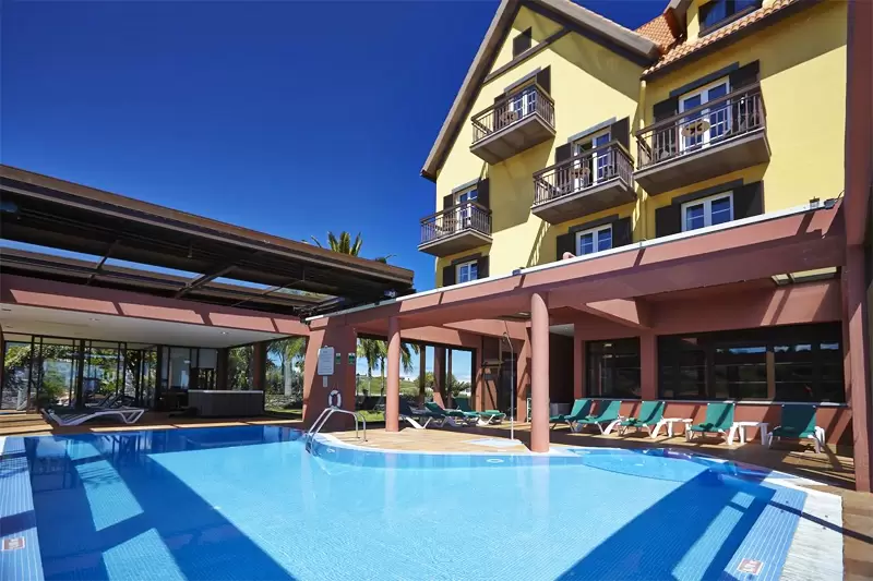
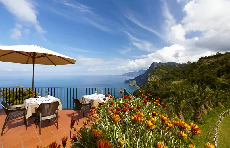
It is located in one of the most fertile areas of Madeira: rich in figs, blackberries, plums and kiwi fruit. 2 km from the centre, surrounded by vineyards, is the Hotel Quinta Do Furão (4 stars hotel with spa, fitness room, pool and restaurant). With magnificent views of the coast.
- Coordinates: 32.823953, -16.885283
The village stretches along the coast road, with manicured squares and a beautiful Mother Church of Santana (17th century) with a gilded carved altarpiece.


- Coordinates: 32.806140, -16.880517
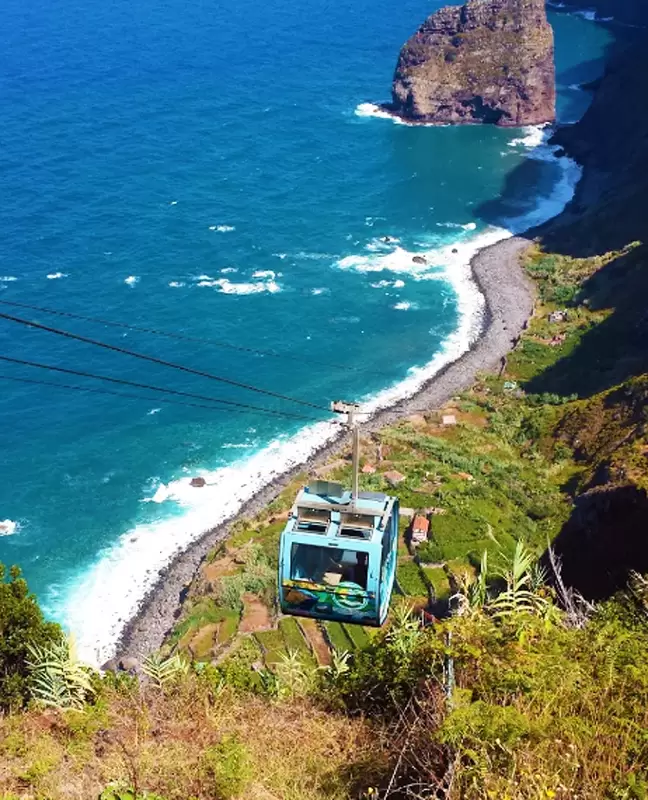
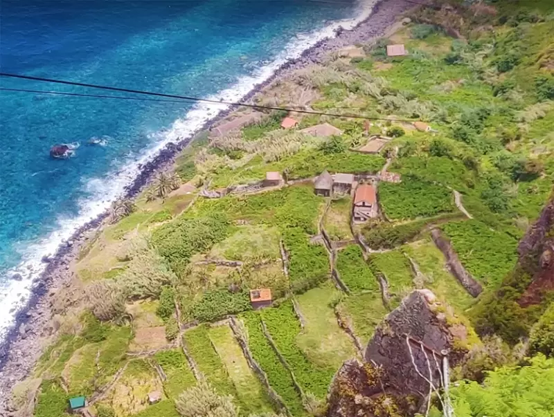
Below, a road leads to the Rocha do Navio Cable Car, which descends under a cliff to the Rocha do Navio fajã. The trip costs around €5.
- Coordinates: 32.814677, -16.876538
The service was developed for the farmers who worked on the fajã. We have beautiful views of the coastline and the waterfall jutting out through the rocky walls as we descend.
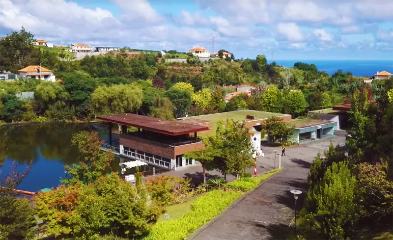
Madeira Theme Park
- Coordenadas: 32.80322,-16.88439
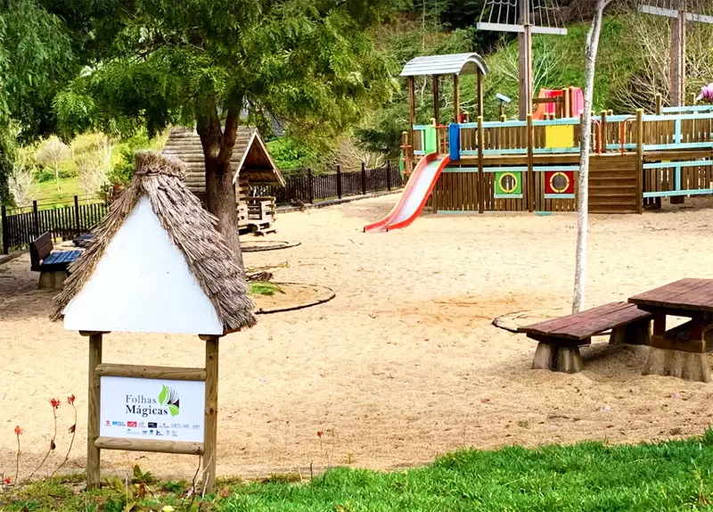
Madeira Theme Park is 1 km from the centre. It has 7 hectares of gardens with pavilions that offer multi-media shows about Madeira and life on the island.
There is plenty of space for children, a lake, cafés, shops, a playground, a water mill and a land train. The most exciting part for adults is handicrafts.
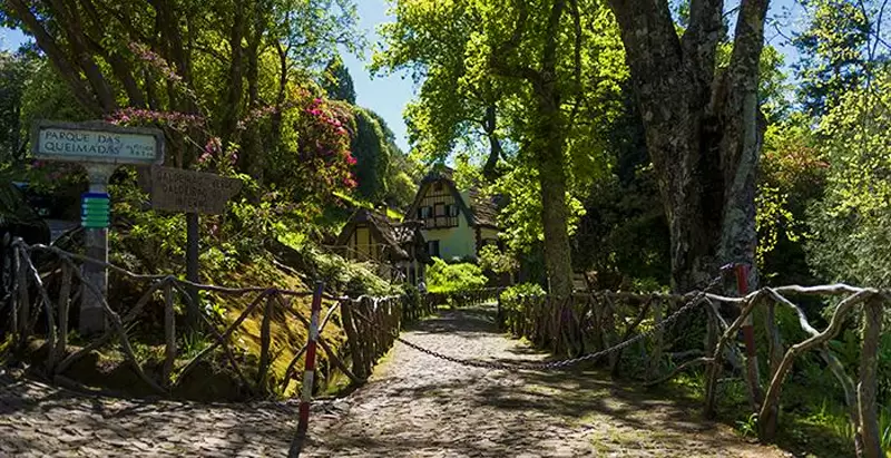
Queimadas Forest Park
- Coordinates: 32.783606, -16.906026
Within Santana, you discover the Parque Florestal das Queimadas, a lovely forested area (part Laurissilva forest).
A steep road leads you to the Queimadas Shelter. There are picnic tables beside the bubbling stream in front of the shelter house, under the tall trees. It’s an excellent spot for a quick picnic.
Many people travel here to start the Levada do Caldeirão Verde trail: one of the best walks on the island.
PR9 – Levada do Caldeirão Verde
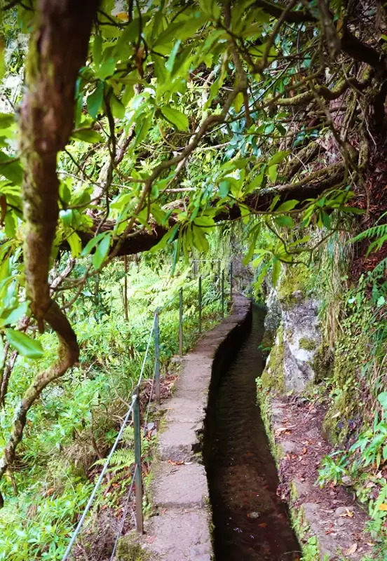
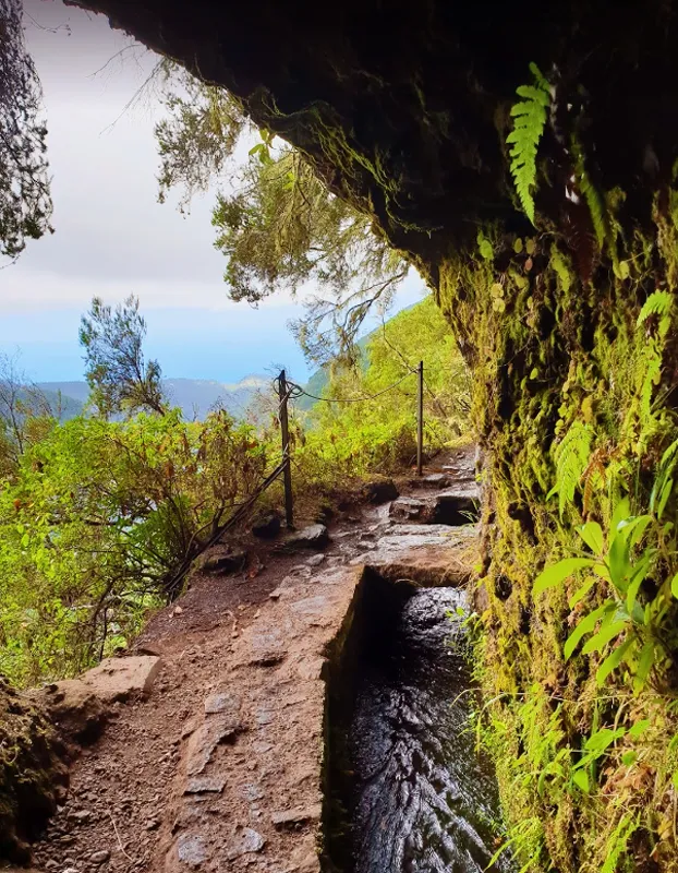
The start of the Levada do Caldeirão Verde is clearly marked at the Queimadas Shelter. It is a 13 km route (round trip – lasts 5:30). Follow the path under old pine trees until you come to a gate.
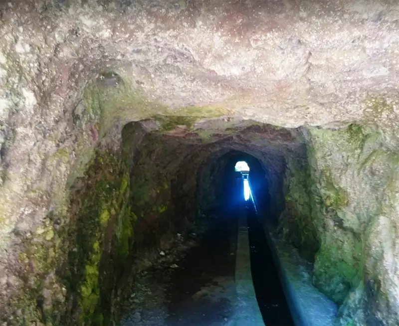
A path takes you down but quickly climbs to the main Levada track. The trail narrows following the valley’s contours. You cross 4 tunnels: progressively longer and lower. Watch your head in the 4th as some sections are shallow.
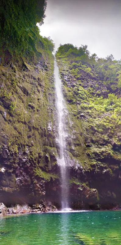
Then you pass a huge tree trunk, thought to be over 800 years old. Finally, you reach the natural moss-covered amphitheatre – Caldeirão Verde. The Levada path continues to Caldeirão do Inferno, an even more impressive waterfall (1 hour).
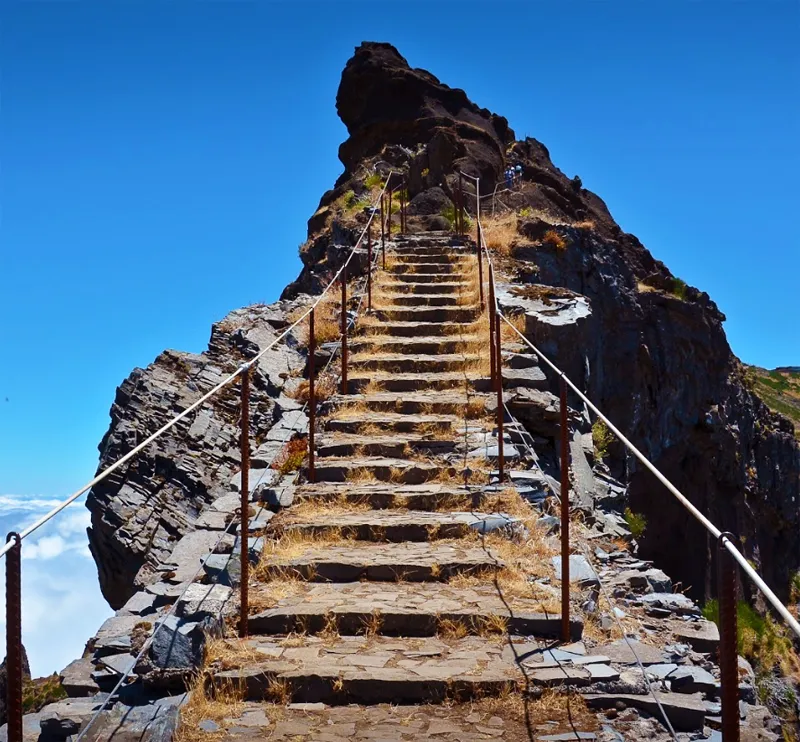
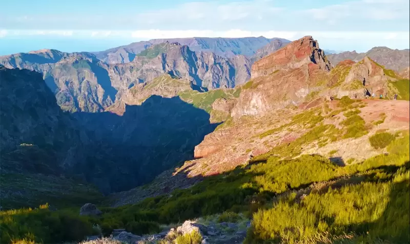
Ruivo Peak
- Coordinates: 32.765109, -16.920205
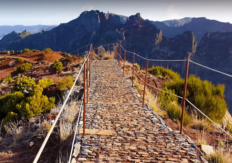
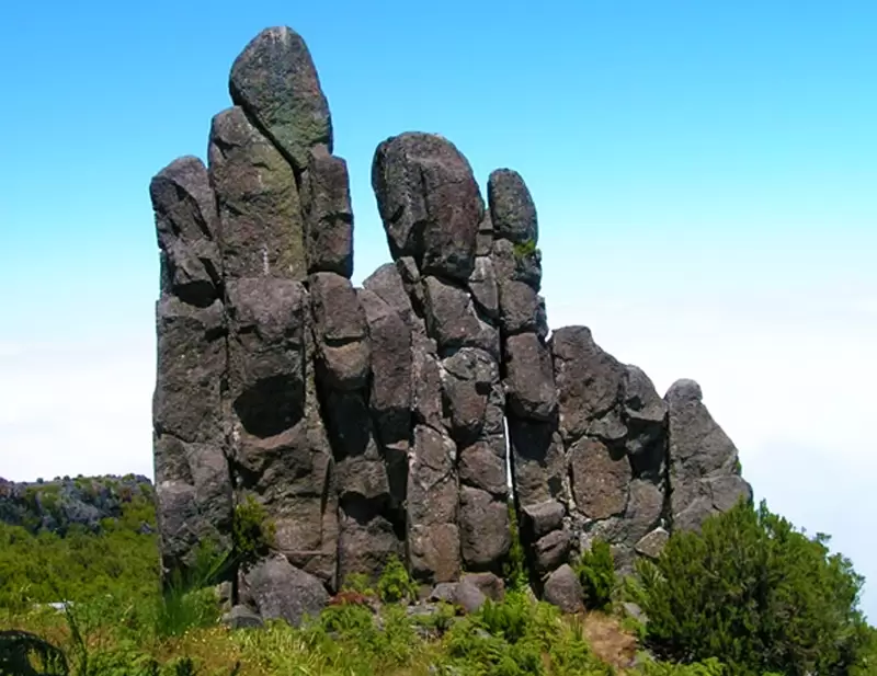
Ruivo Peak is accessible by road EN101-5 from Santana to Achada do Teixeira – 25 minutes from the car park beside Achada. Behind it is a series of natural basalt columns known as Standing Man.
The car park marks the start of the hike to the top of Ruivo Peak. Trail PR1.2 Vereda do Pico Ruivo (2.8 km – lasts 1:30) culminates at the highest point on the island (1862 metres).