

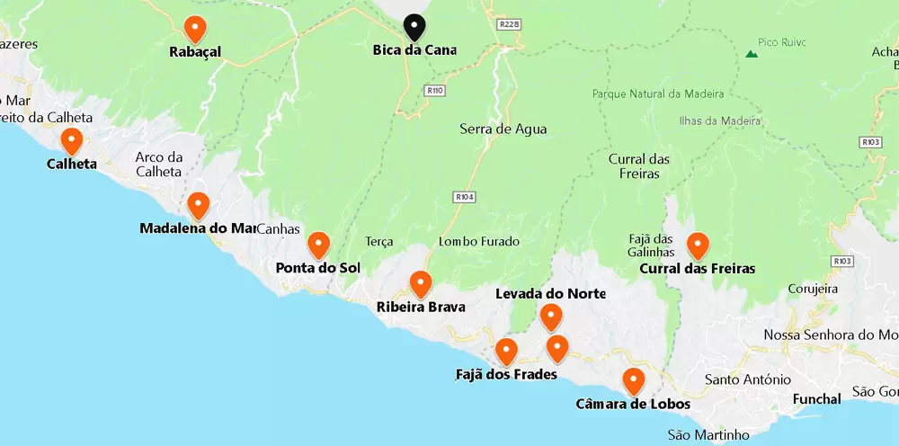
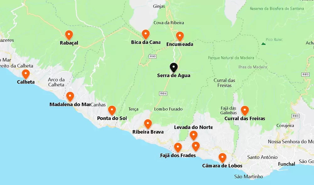
Rabaçal (Levada do Risco, das 25 Fontes e do Alecrim)

- Coordinates: 32.755567, -17.134695
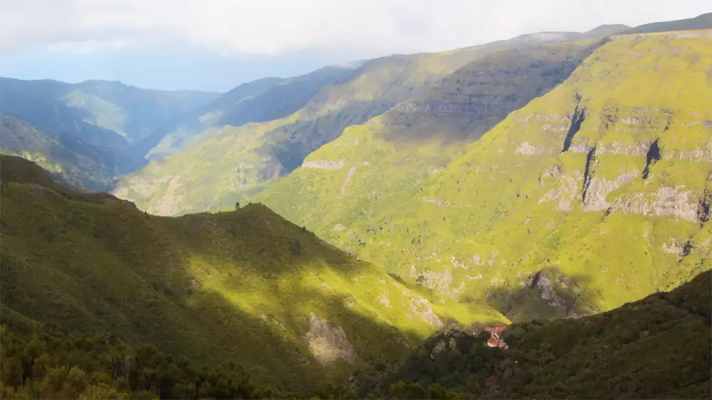
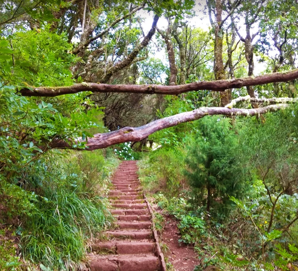
Inland, Rabaçal (20 minutes by car from Calheta Beach). It is one of the most beautiful valleys on the island, the centre of fantastic walks. The valley is densely forested with a great variety of endemic species – its trees are shrouded in lichens and mosses. It is almost isolated from the outside world, except for the small shelter house.
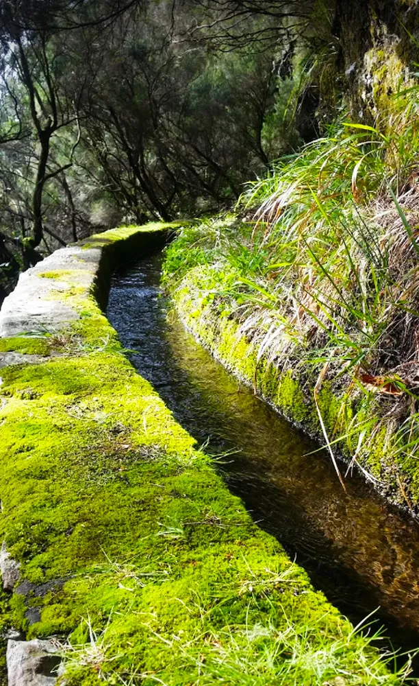
There are two popular levadas: one to Risco (3.3 km – 3 hours) and another to Fontes (3.7 km – 3.30 hours). Access is at the foot of the regional road, ER110, from where it descends to the shelter house.
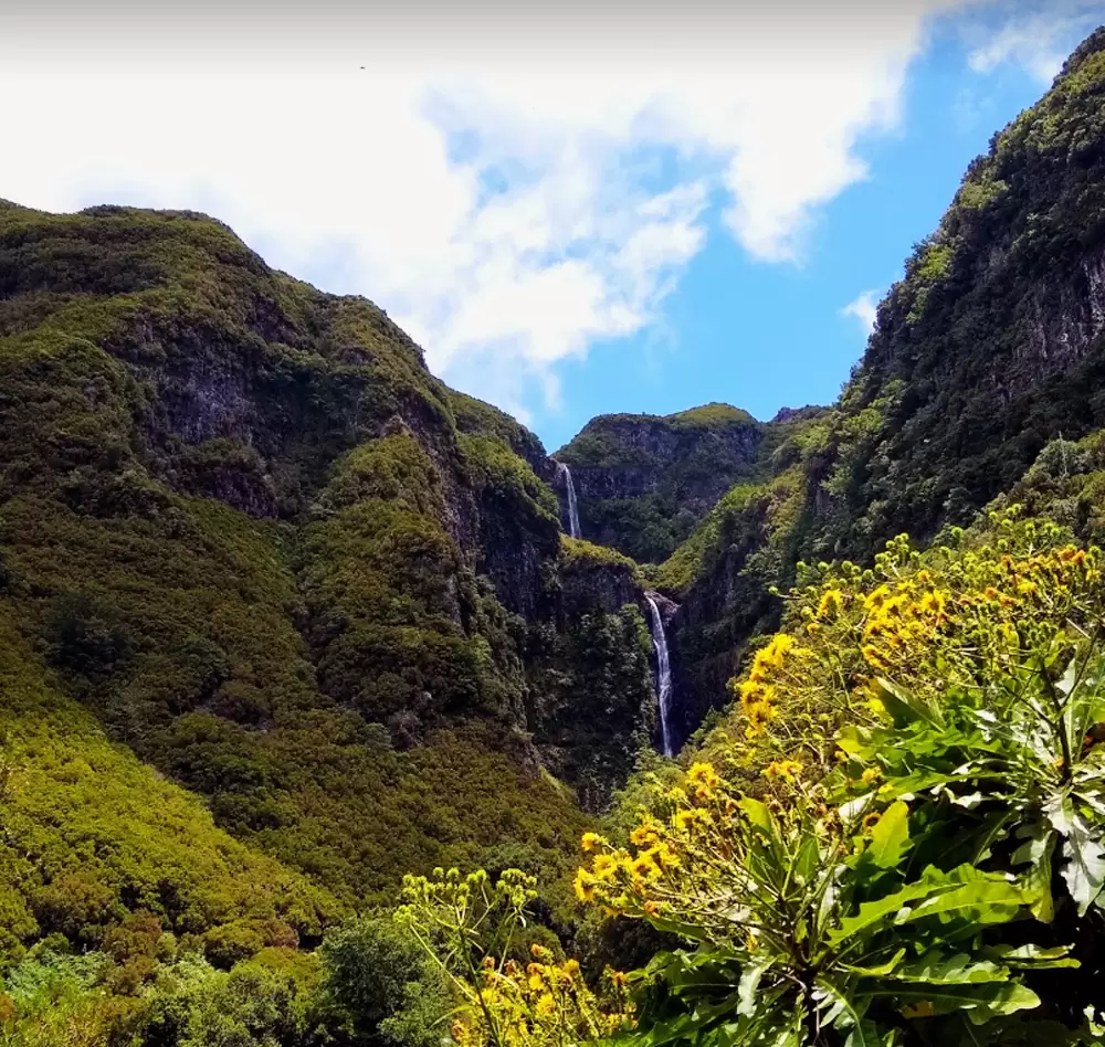
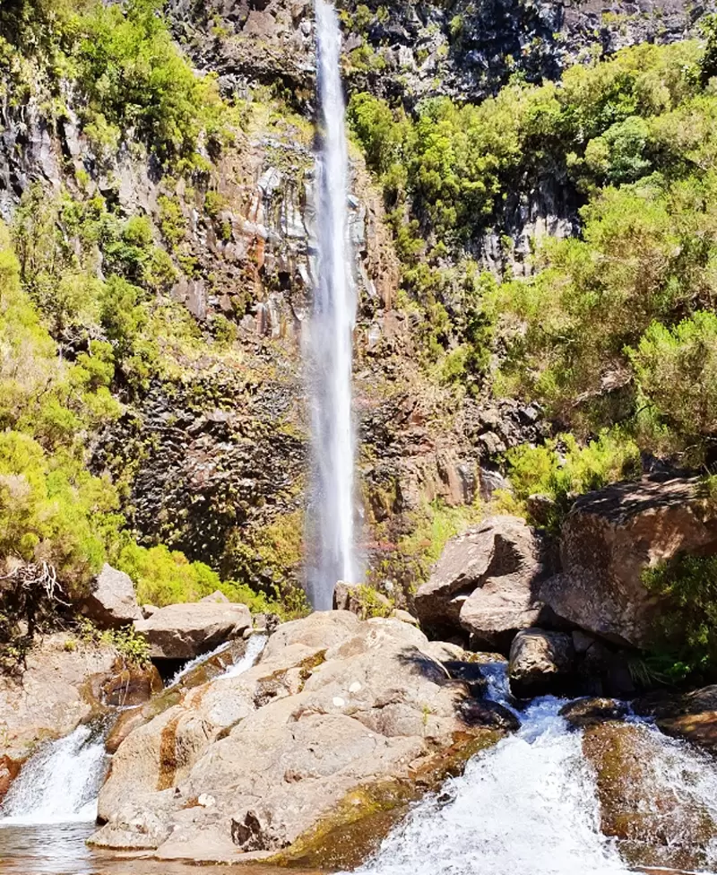
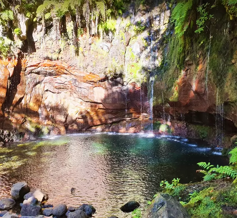
The shelter house marks the beginning of the two levadas: PR 6.1 Levada do Risco rises (about a thousand metres) to a waterfall. PR 6 Levada das 25 Fontes descends to the cascade of the 25 fountains formed by the springs that come down from the highest plateau in Madeira- Paúl da Serra.
- Coordenadas:32.754903, -17.133848
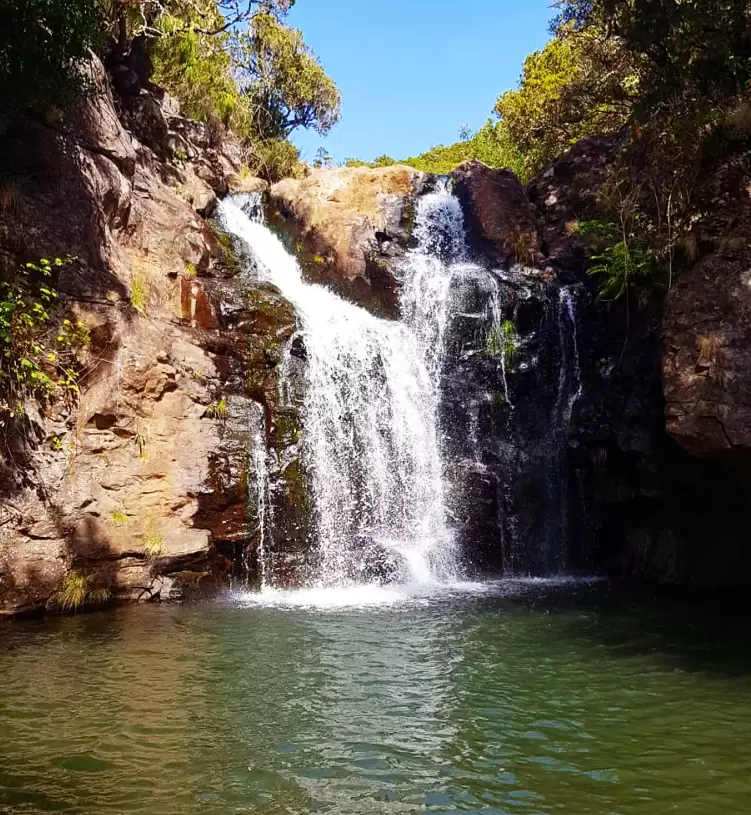
Near the shelter, there is another fabulous Levada do Alecrim (3 km – 2 hours). It culminates in a small pond fed by a cascade of icy water.
- Coordinates: 32.753551, -17.132638
Paúl da Serra
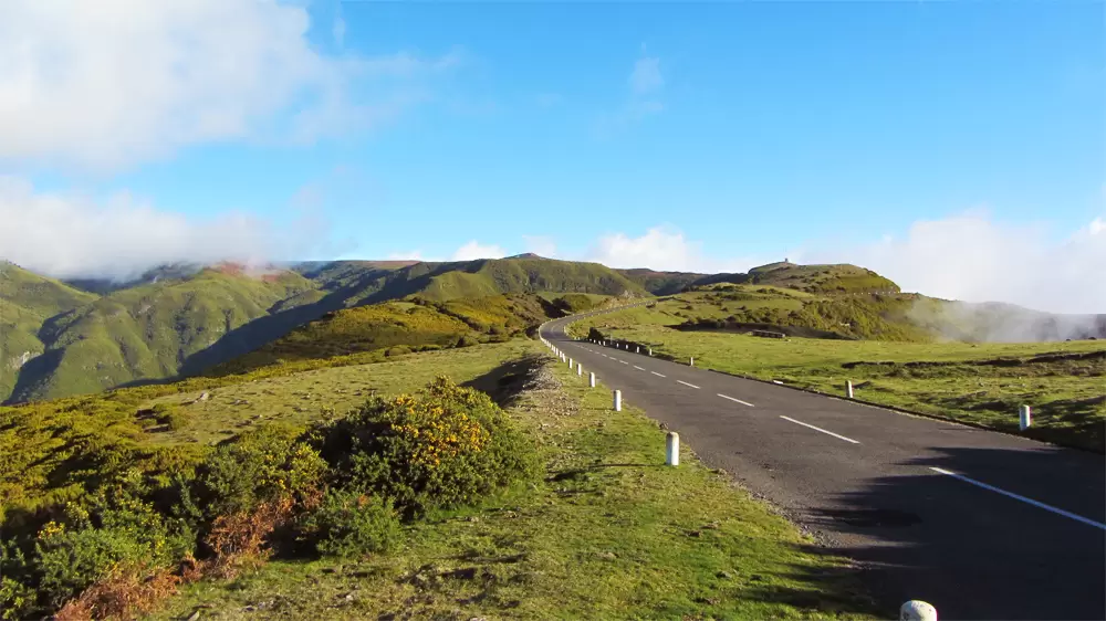
Paúl da Serra is a plateau 1300 metres high. It covers an area of 17 km by 6 km – the most significant continuous highland on the island.
- Coordinates: 32.733214, -17.050011
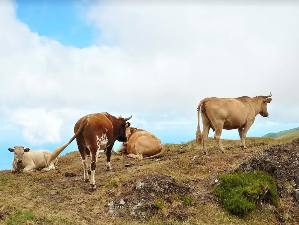
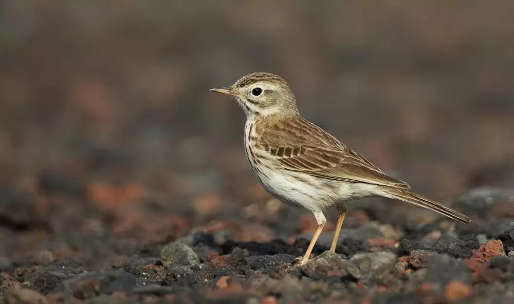
Little grows here except thick grass. It is one of the few places on the island where cows can roam freely without the risk of falling off a cliff. Birdwatchers are also attracted by robins, goldfinches, and the rare kingfisher found only here and in the Canaries. In summer, young locals camp on the plateau.
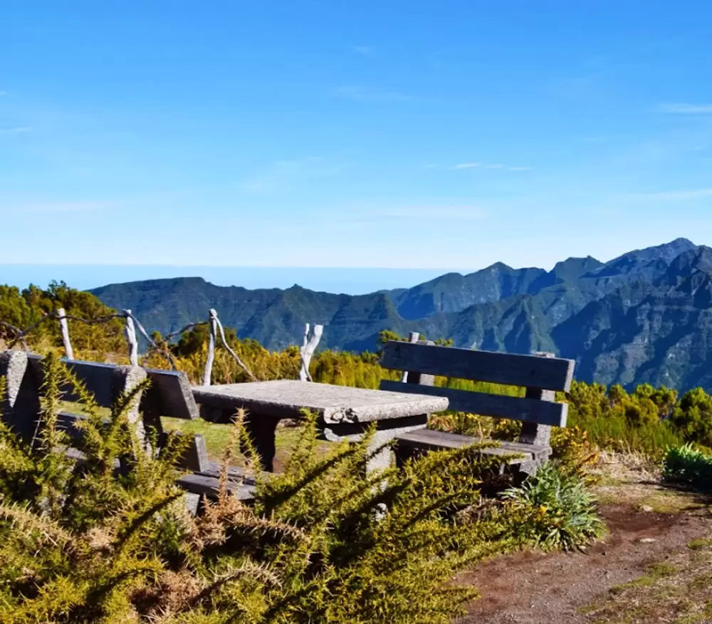
We have extensive views of the coast and the normally cloud-crowned interior at the Bica da Cana Viewpoint.
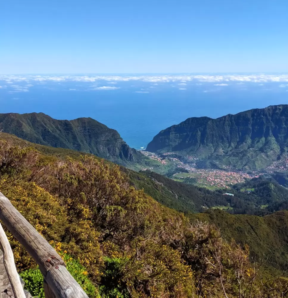
- Coordinates: 32.756161, -17.054862
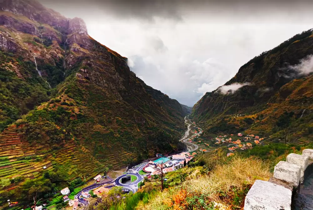
Bica da Cana peak is all that remains of a volcanic cone and is, in summer, a popular picnic spot, especially at weekends. At the junction of the EN204 and 104, we discover Boca da Encumeada, the 1000-metre-high mountain pass – the highest point on the road connecting the north and south coasts.
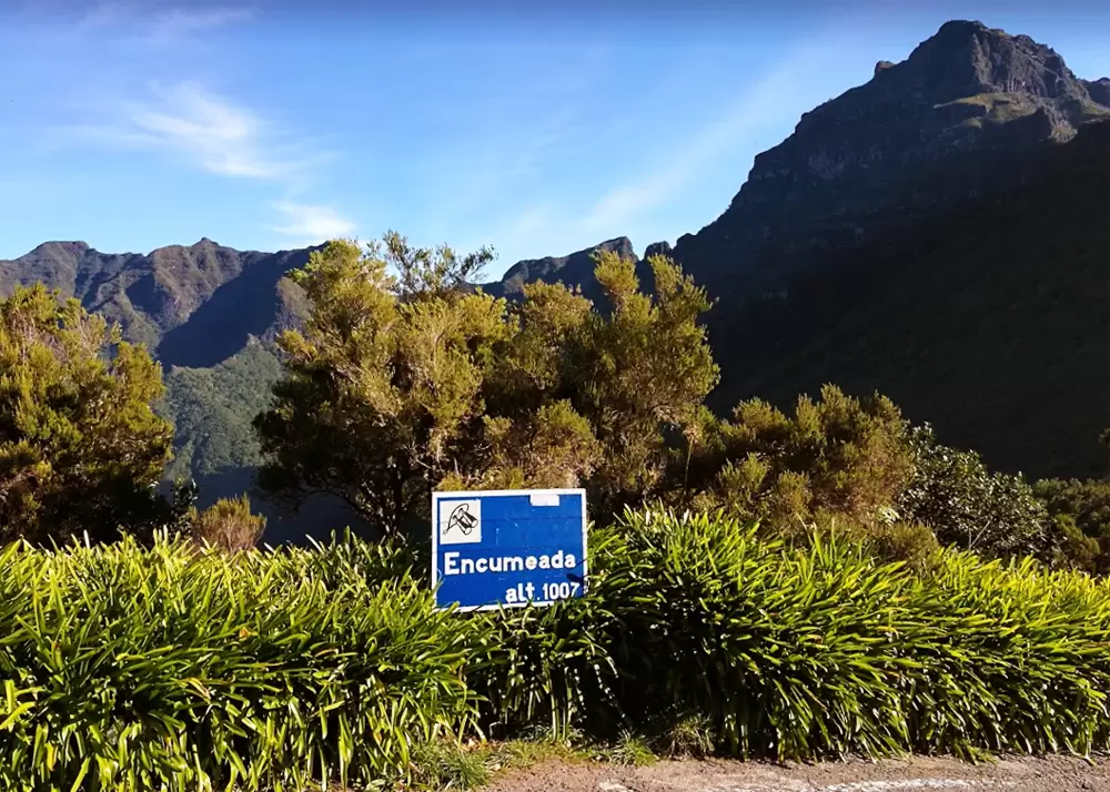
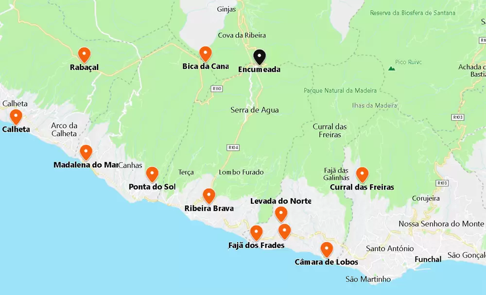
- Coordinates: 32.754347, -17.019512
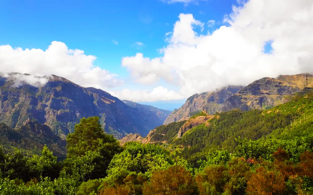
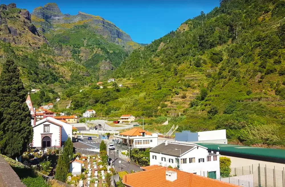
At the Encumeada Viewpoint, we see the coast of São Vicente (in the north) and Ribeira Brava (in the south). Other times you will see only a sea of white clouds. Continuing along the ER228, you will soon catch sight of Serra de Água in a dramatic valley surrounded by towering mountains.
- Coordenadas:32.727009,-17.025861