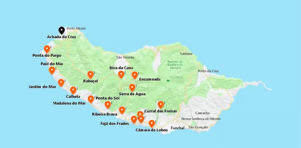
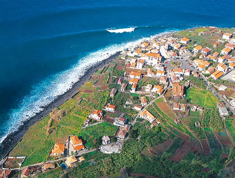
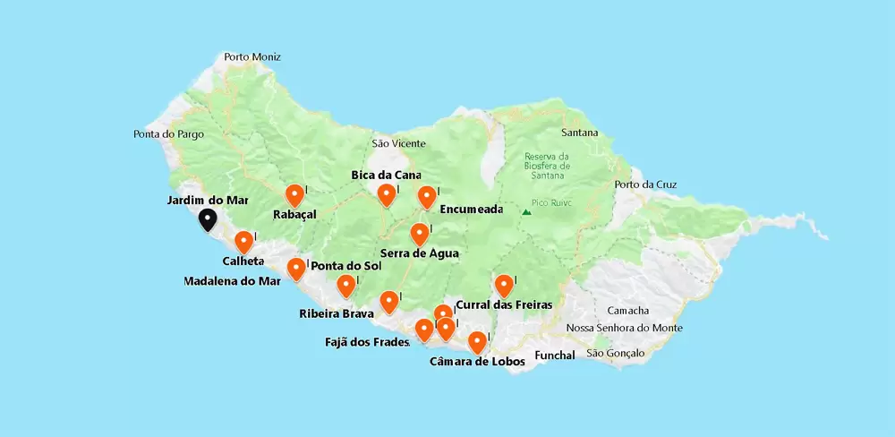
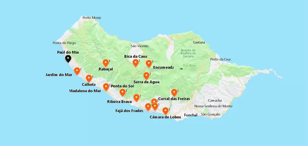
Jardim do Mar
Jardim do Mar is a magical maze of honeysuckle-scented alleys. You can easily spend a day or two strolling along the coast or climbing the banana plantations above the parish. By car, it’s a 10-minute drive from Calheta beach.


- Coordenadas: 32.737801,-17.210839
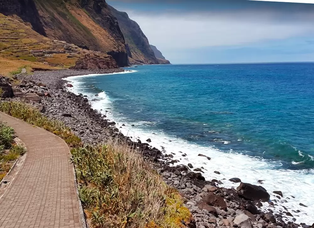
The centre is well looked after. From the main square, a street runs east to the rocky beach, which marks the end of a seafront promenade.
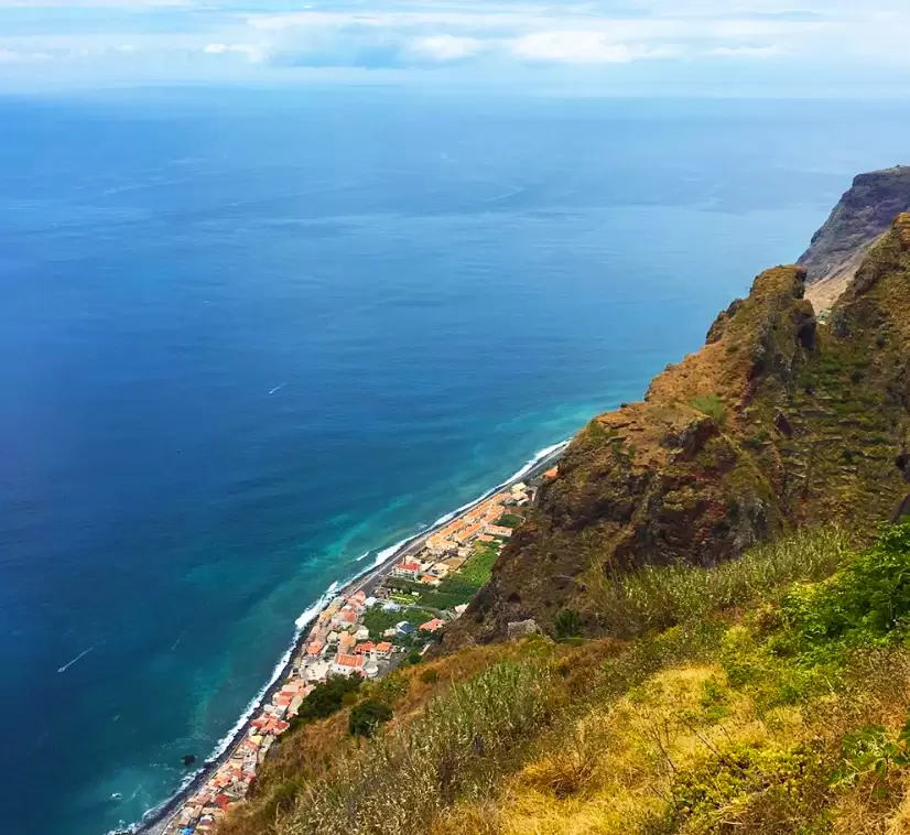
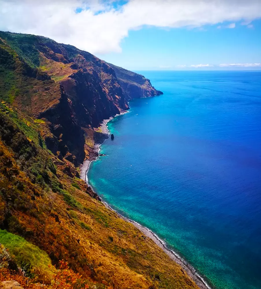
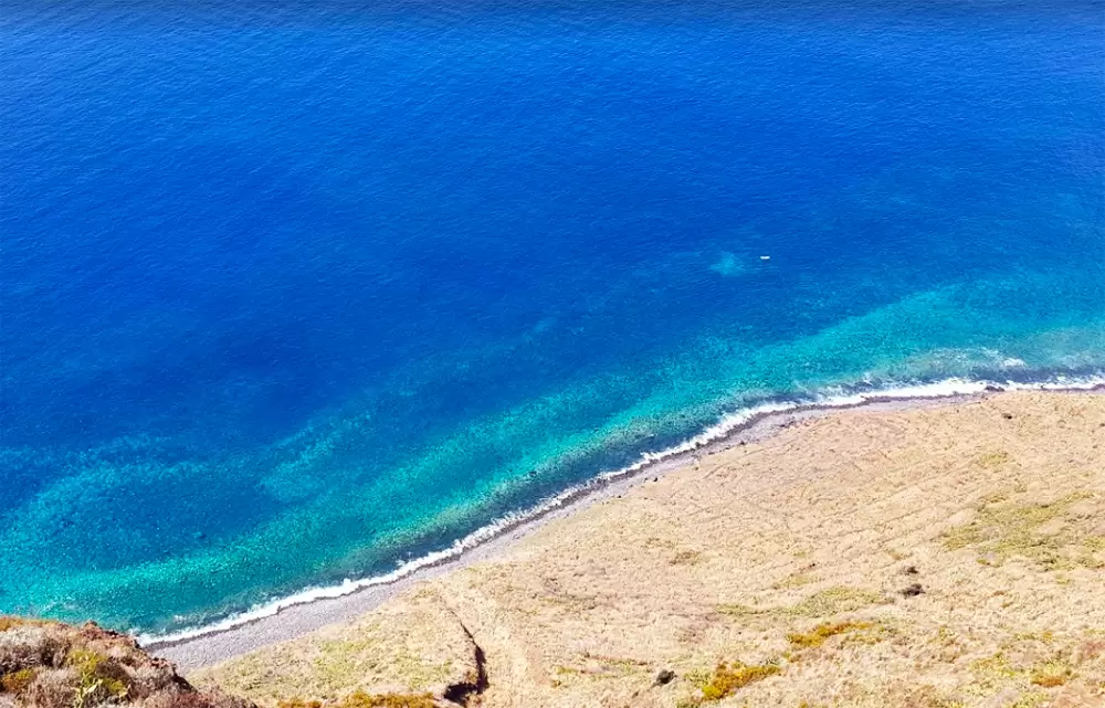
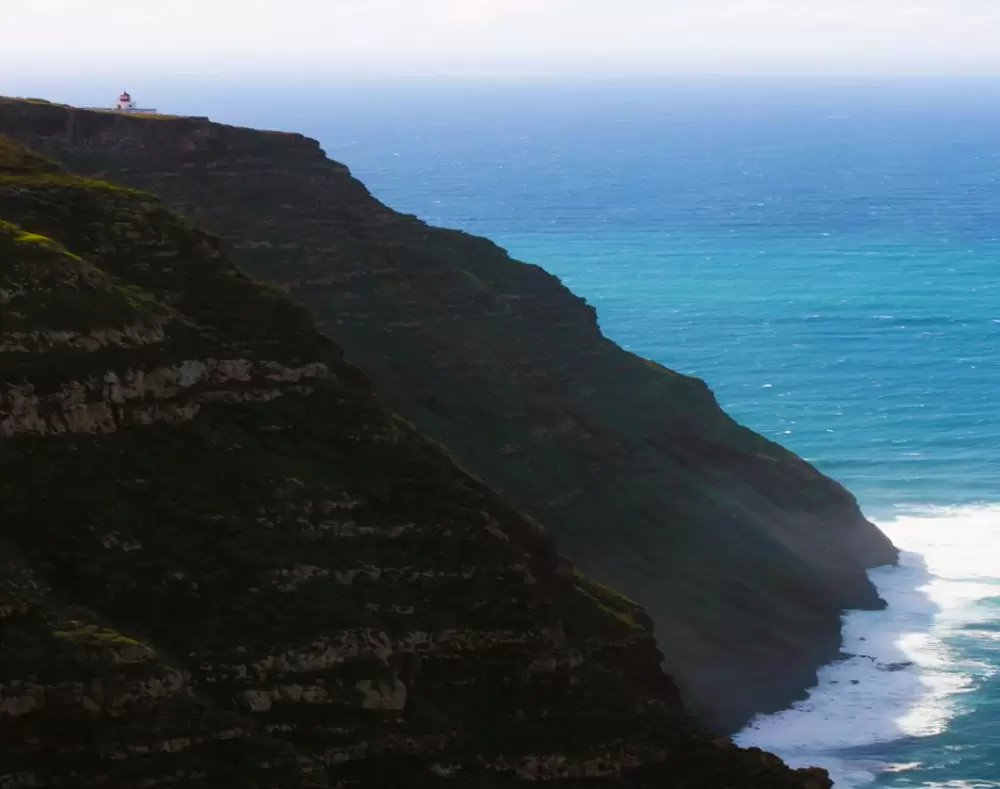
Near the Hotel Jardim Atlântico, in Lomba da Rocha (parish of Prazeres), is the beginning of the spectacular descent to Paúl do Mar – Caminho Real do Paúl do Mar (PR19). From the cliff top, boats look like tiny dots in total silence.


- Coordinates: 32.752438,-17.217054
It’s a short walk (2km, about 1:30), but if you can’t make the trek, walk down just a bit and sit and admire the view. At one point, the path drops dramatically; you’ll see a waterfall, then cross a stone bridge. You head to the pier at Paúl do Mar on the left-hand side.
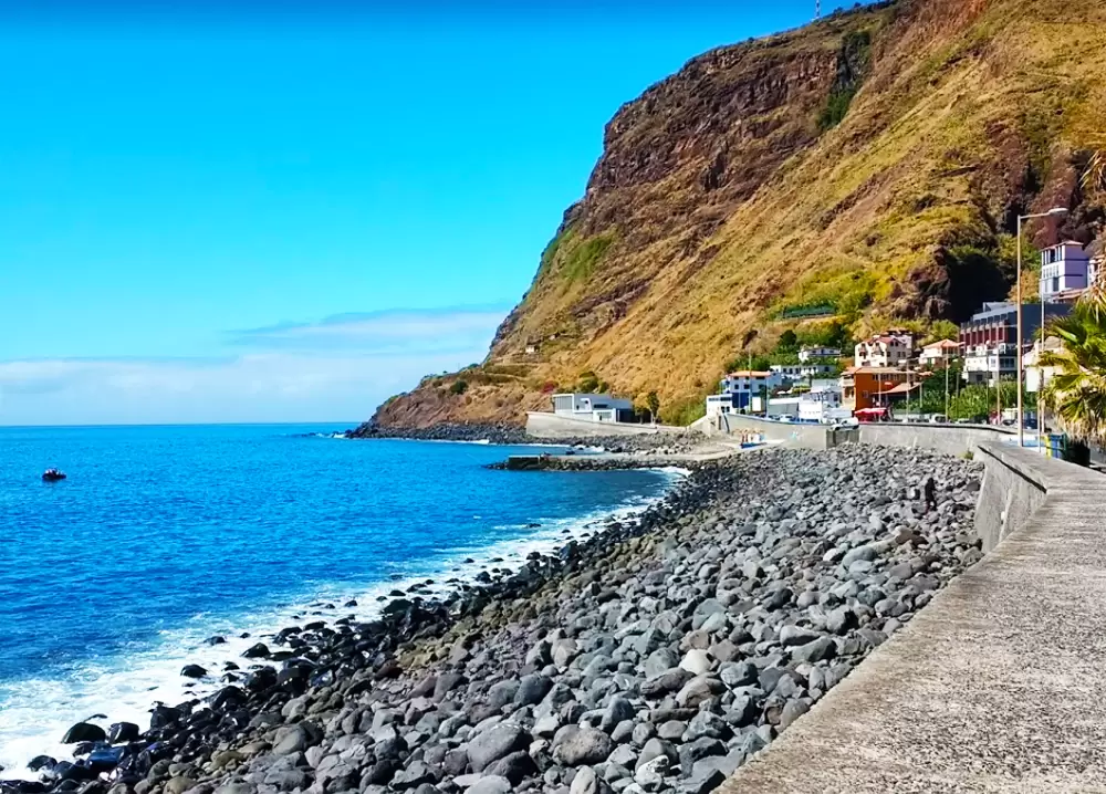
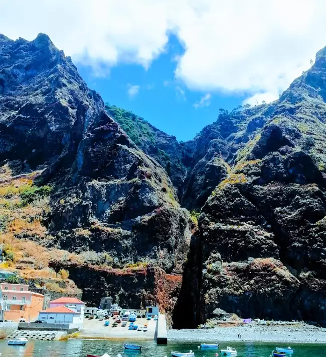
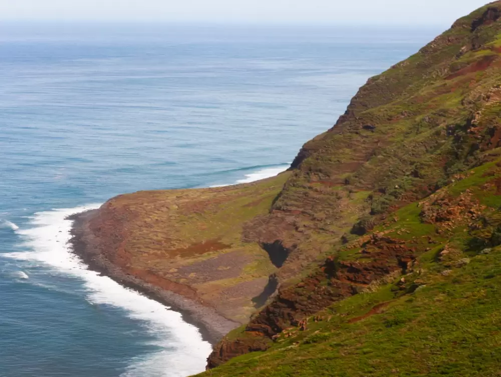
Paúl do Mar


- Coordinates: 32.765289,-17.234942
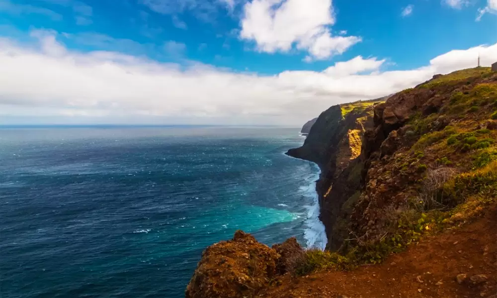
The road westwards passes through a series of farming villages, including Lombo dos Cedros surrounded by terraces carefully cultivated by older women.
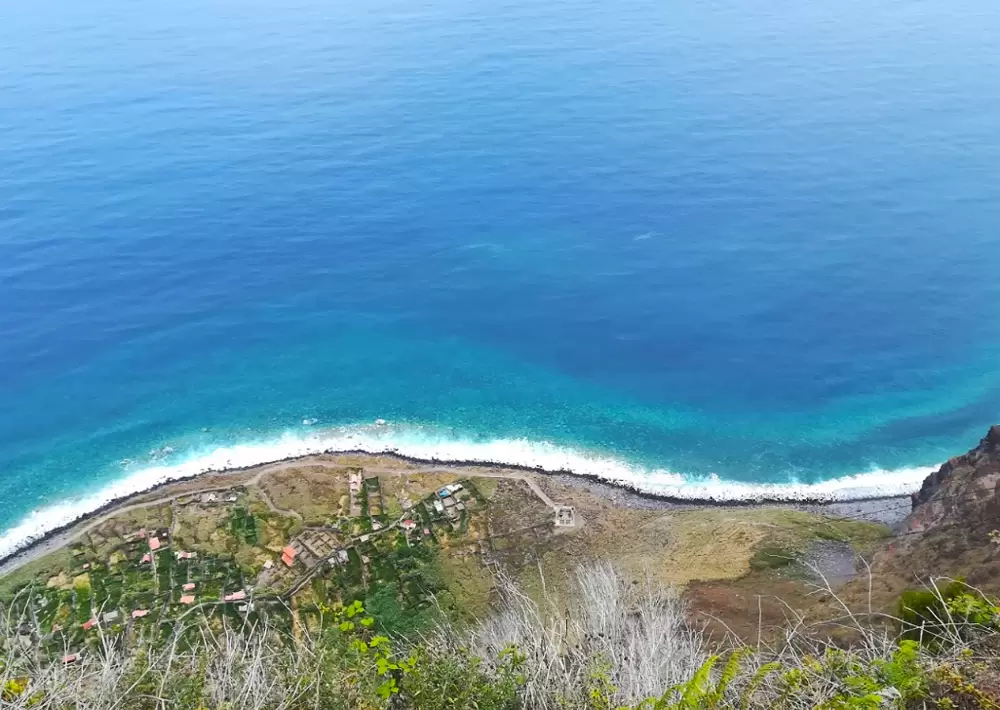
A bit further west, a flower-covered junction points you to Paúl do Mar, the fishing village under dramatic cliffs. Paúl do Mar can be accessed by a tunnel from Jardim do Mar; nevertheless, reaching the town by road from Prazeres is worth it for its intoxicating views.
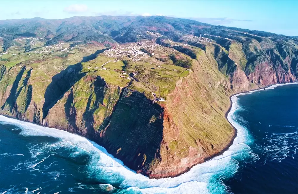
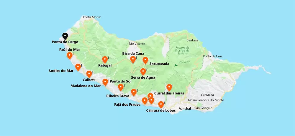
Ponta do Pargo
- Coordinates: 32.811737, -17.247680
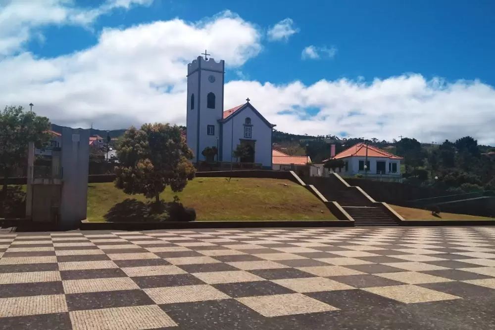
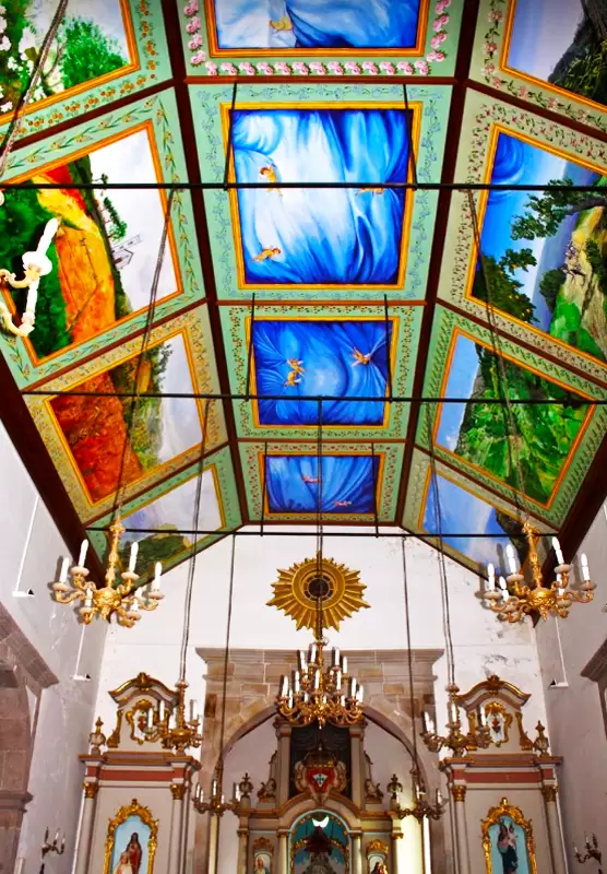
To the north, you reach the small parish of Ponta do Pargo half an hour by car. It is so-called because Zarco caught these fish here (red porgy in English). The parish is surrounded by fields of vines and vegetables. In the centre is the São Pedro Church (17th century).
- Coordinates: 32.811278, -17.247676
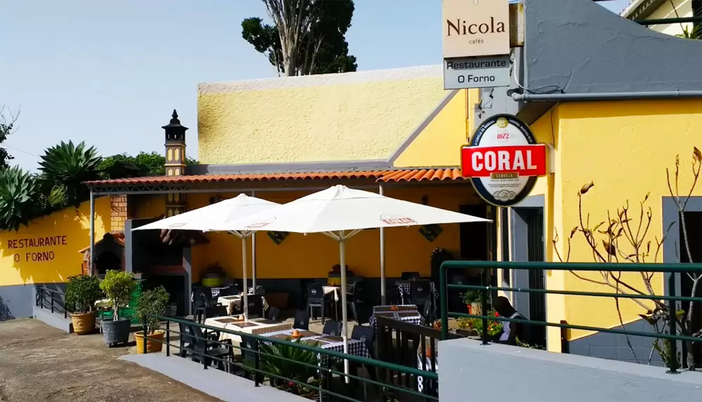
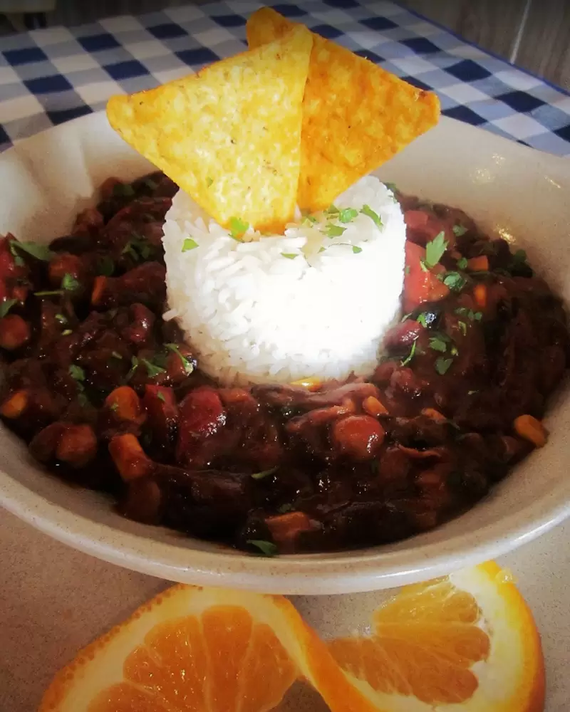
The Fontanaria São Pedro (1899) is covered with tiles to the left. There are several good restaurants: one is Restaurante o Forno, and Vegetarians can also enjoy their delicious food.
- Coordinates: 32.812199, -17.244820
On the same road, 200 metres south, you have another option: O Farolim Restaurant. Quiet place with a family atmosphere and a beautiful sea view – try the limpets and the swordfish fillet with banana.


From here, we scroll down to Farol da Ponta do Pargo. It’s 5 minutes. Pass by the Do Fio Viewpoint, with expansive ocean views, right by Casa de Chá O Fio.


- Coordinates: 32.809494, -17.256532
At 300 metres altitude, the small Ponta do Pargo Lighthouse (1922) marks the westernmost point of Madeira.
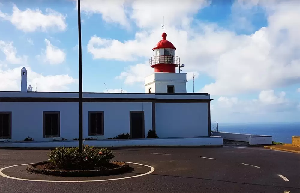
- Coordinates: 32.813928, -17.262673
Nearby, you have the Garganta Funda Waterfall Viewpoint – 10 minutes north. It’s easy to get to the viewpoint, with several signs directing you the way. The walk to the waterfall is relatively easy.
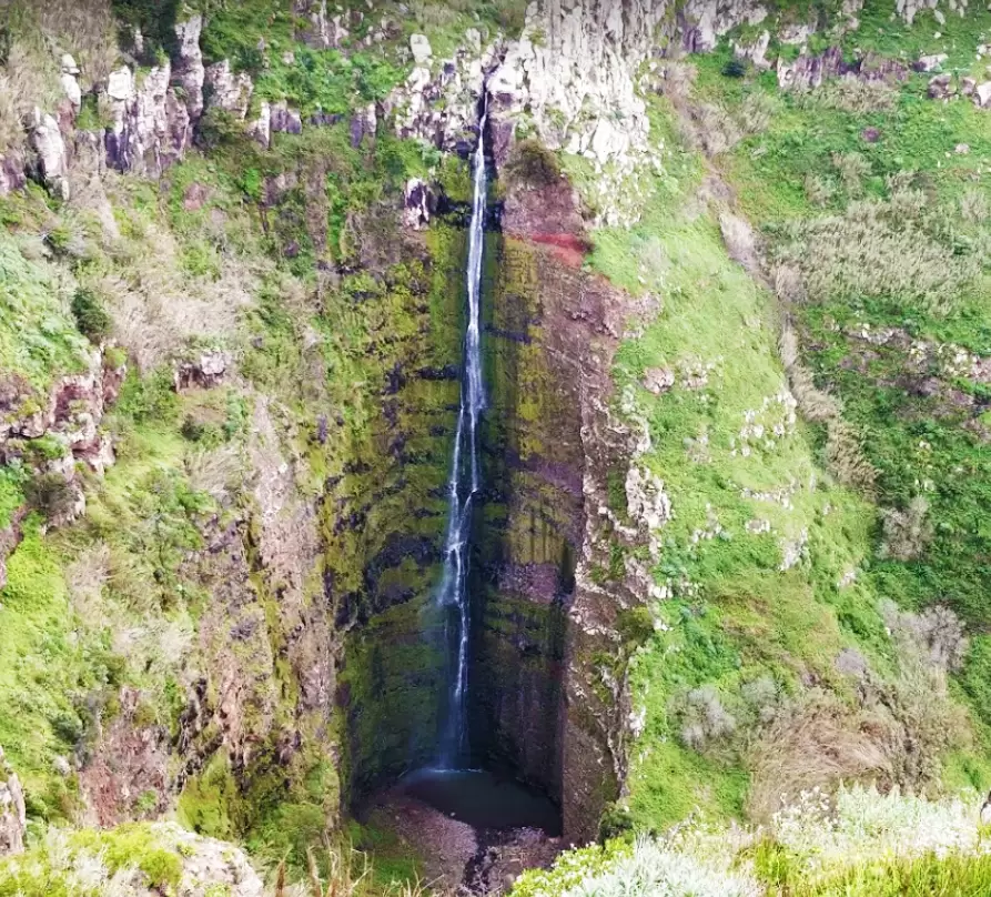
- Coordinates: 32.819793, -17.251432
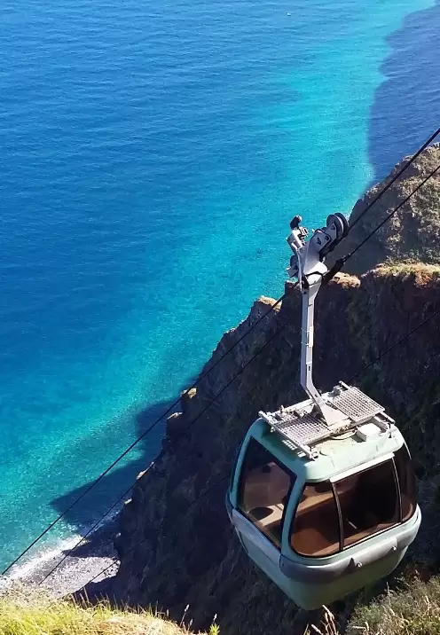
From Ponta do Pargo over North passing the small Achadas da Cruz and the Achada da Cruz Cable Car (€5 – round trip) built to help, in the past, farmers access the fields. The journey provides great views but is not recommended for those suffering from vertigo.