

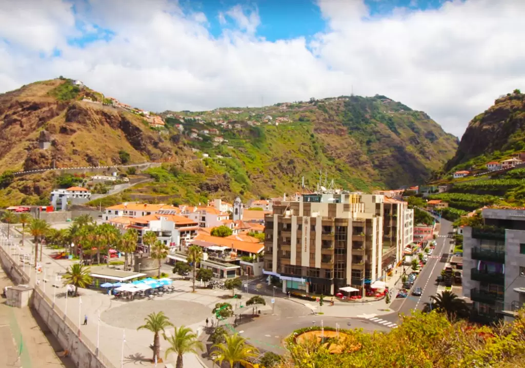
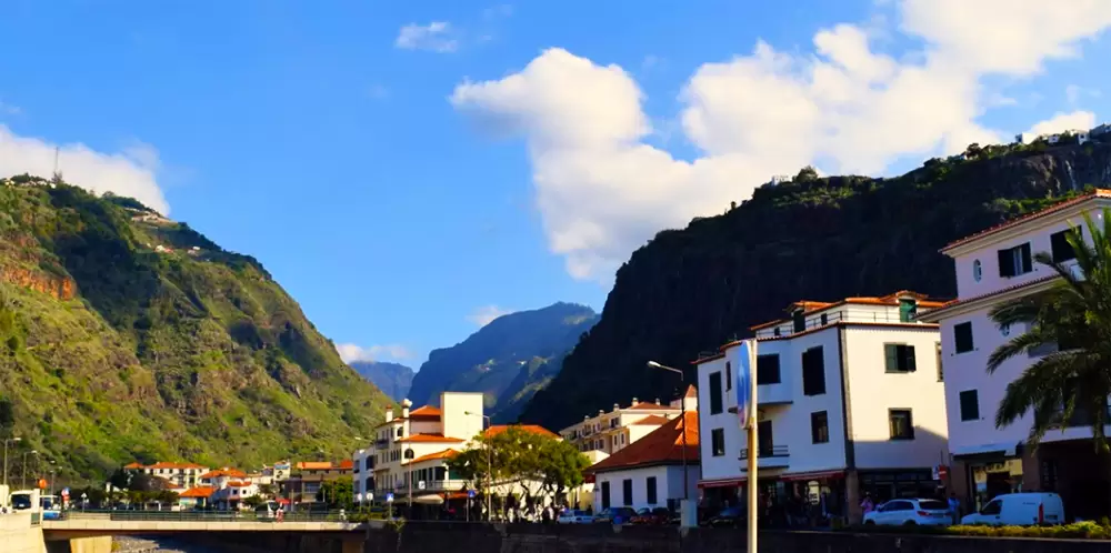
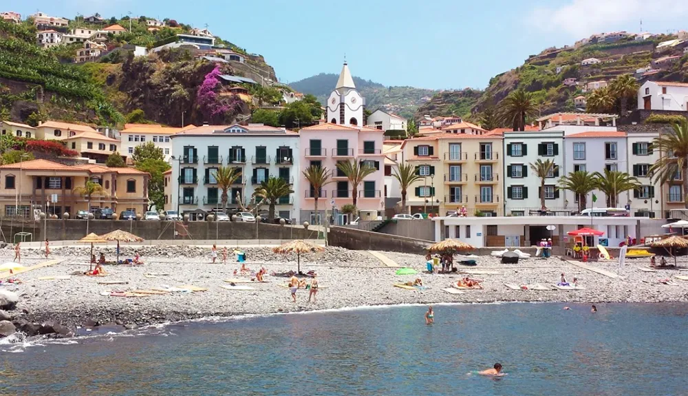
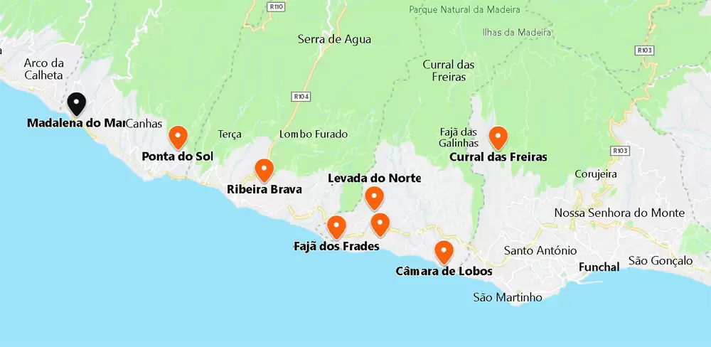
Ribeira Brava
- Coordenadas: 32.677559,-17.052658
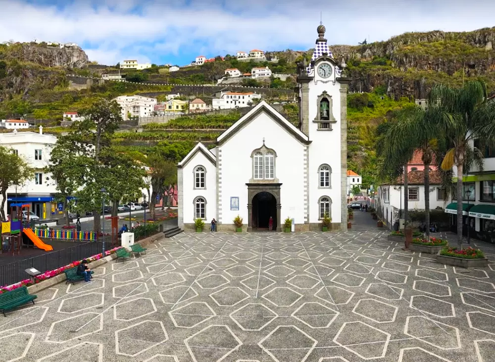
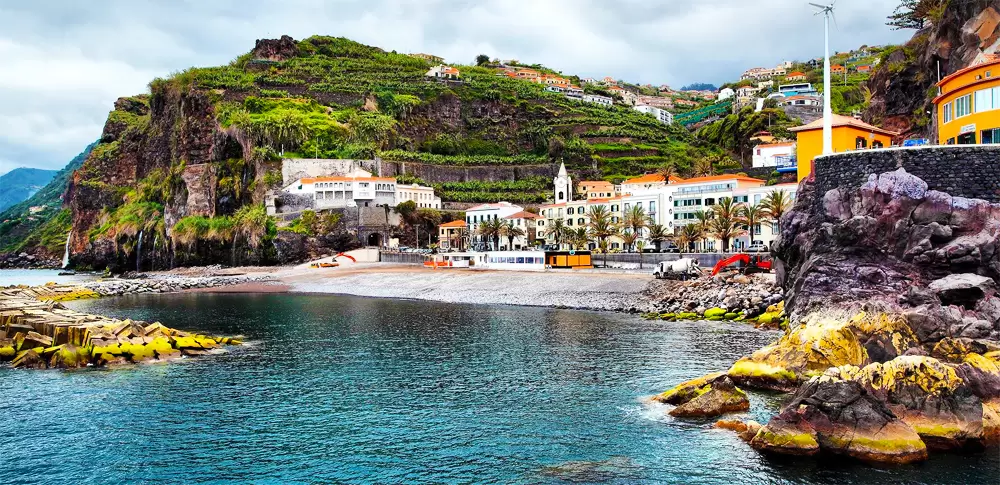
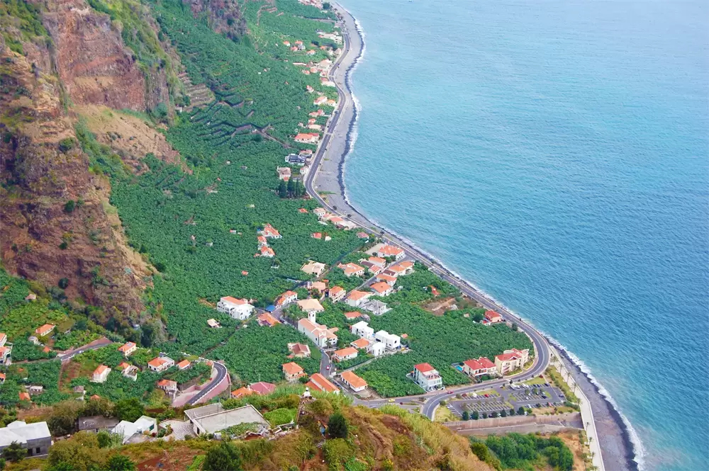
Located at the foot of a dramatic gorge, Ribeira Brava refers to the small stream flowing westward and coming to life after heavy rainfall. The focus is the seafront: a rocky beach accompanied by many cafés and restaurants.
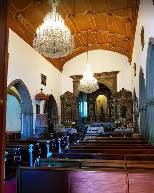
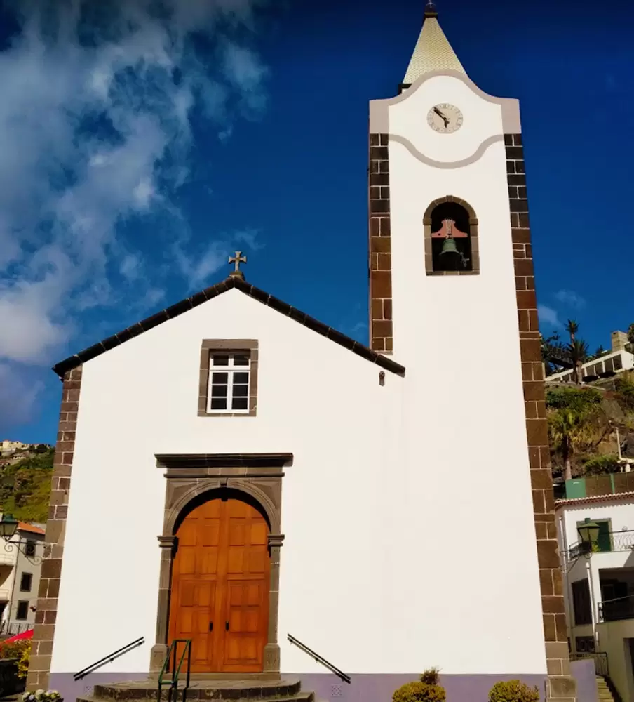
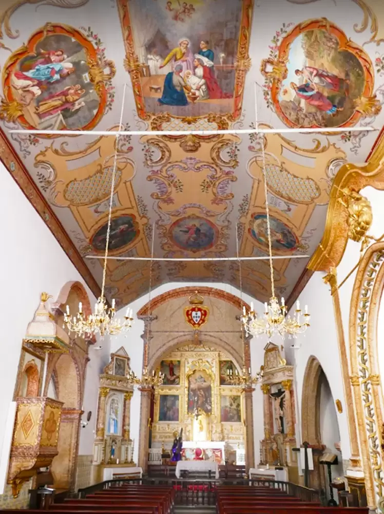
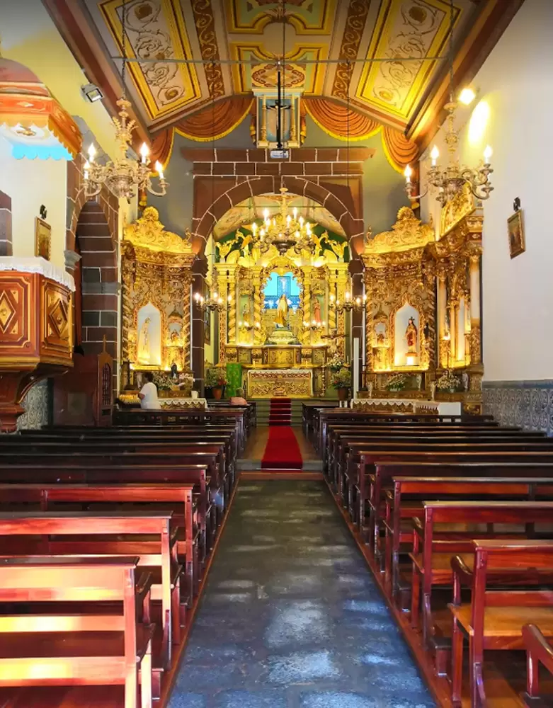
There are swimming pools to the west of the bridge. Facing the gardens, Rua dos Camachos, stands the graceful São Bento Church (16th century) with touches of Manueline architecture.
- Coordinates: 32.671201, -17.064776
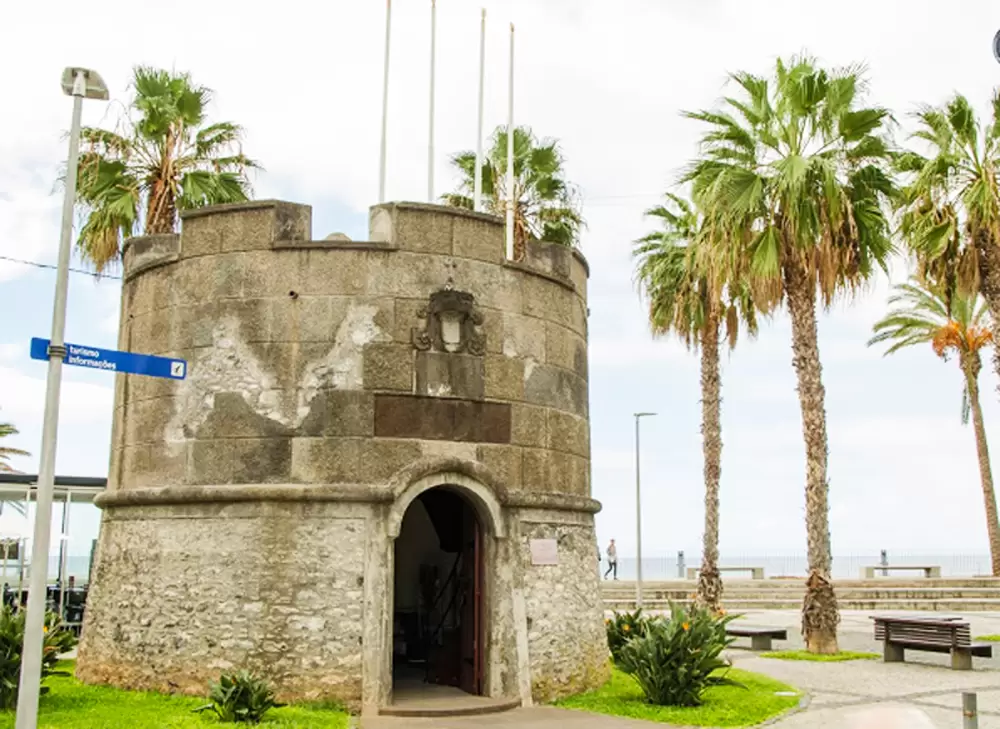
A few metres away, you see the small tower known as the São Bento Fort (18th century) for detecting corsairs and pirates. Today it houses the tourist office.
- Coordinates: 32.669844, -17.064870
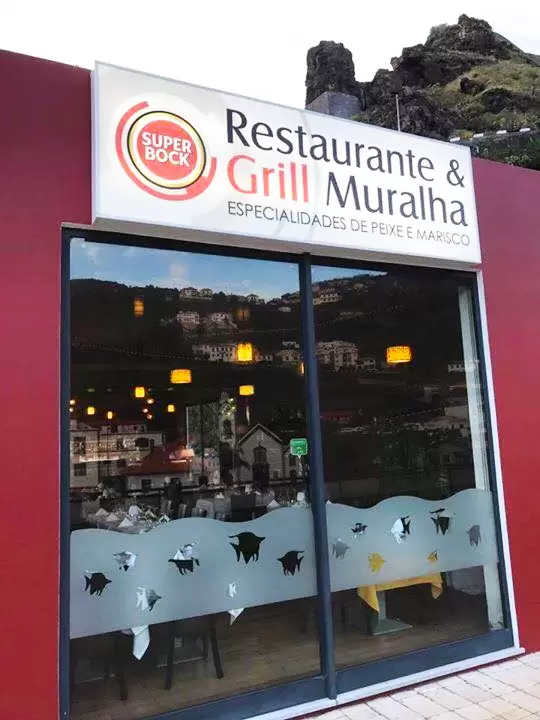
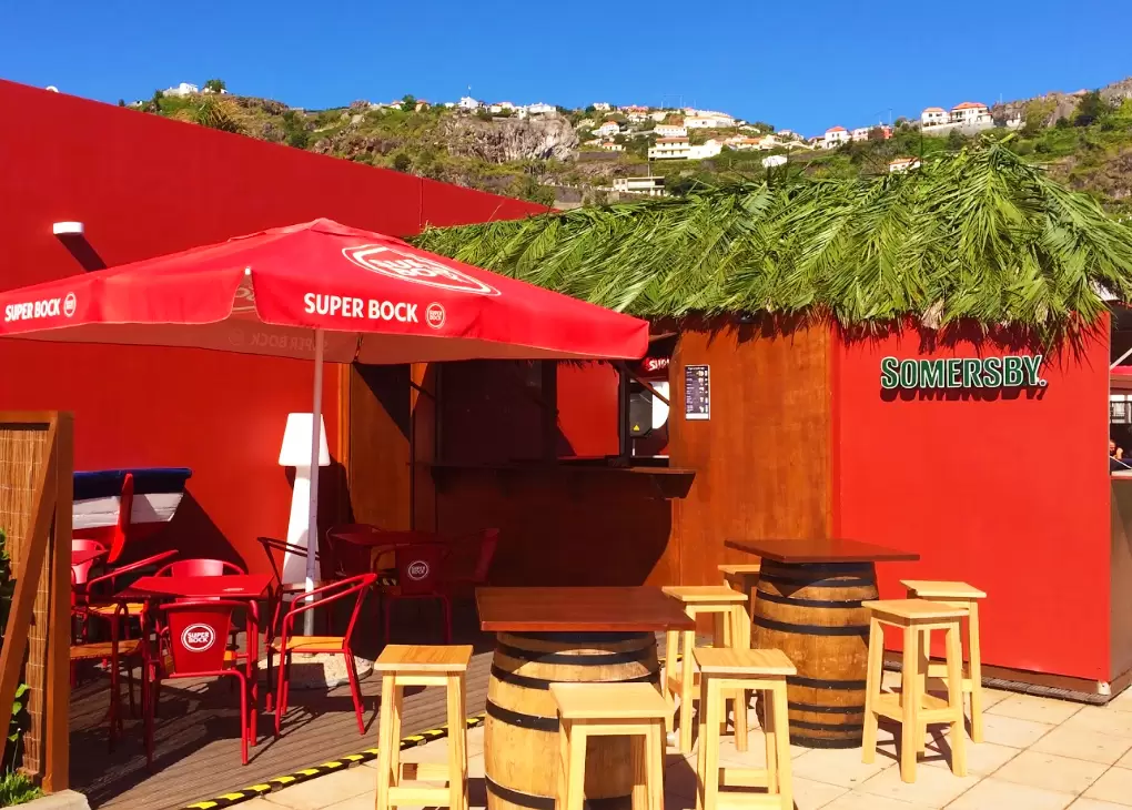
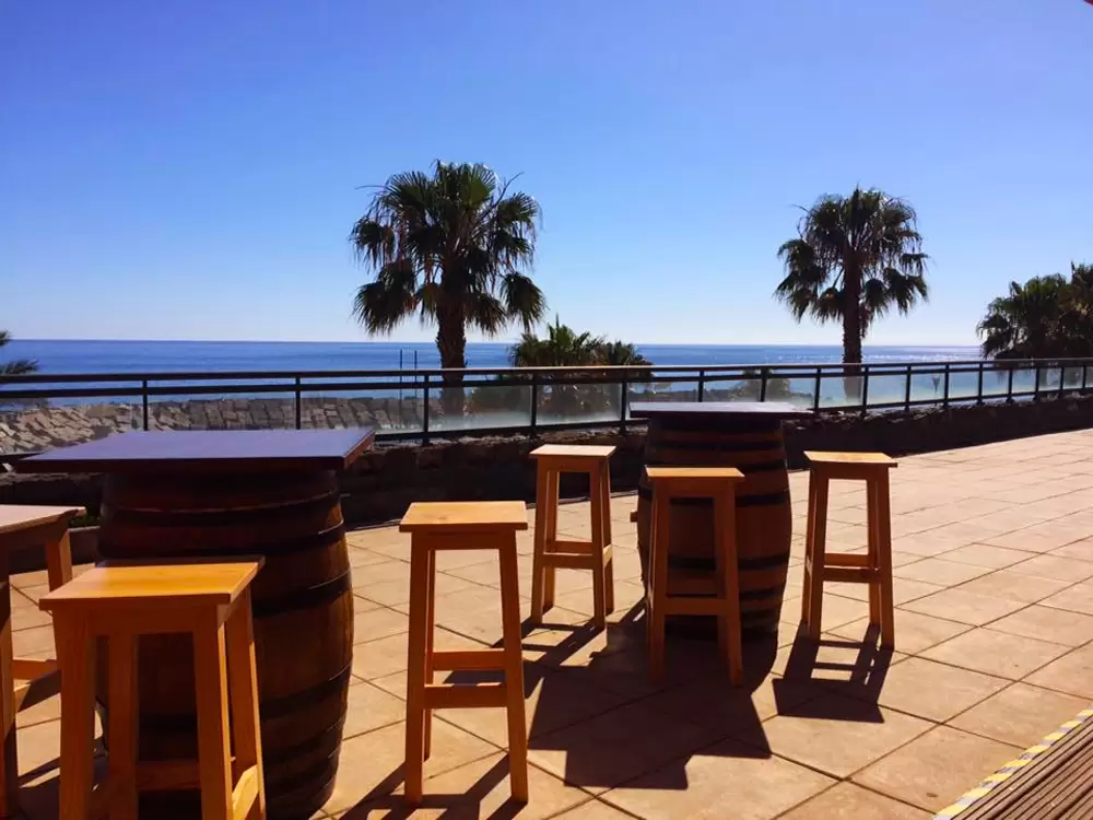
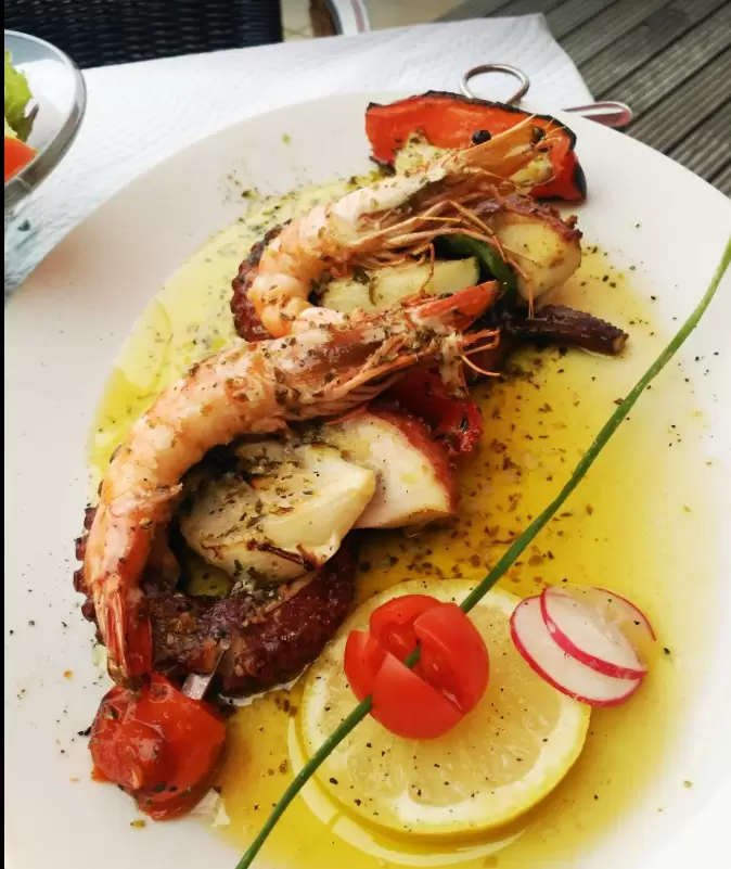
150 metres away, on regional road 220, we discover Restaurant & Grill Muralha Terrace: welcoming space thanks to the attentive staff and beautiful views of the Atlantic. The food is tasty, meat or fish, at affordable prices.


- Coordinates: 32.671387, -17.066210
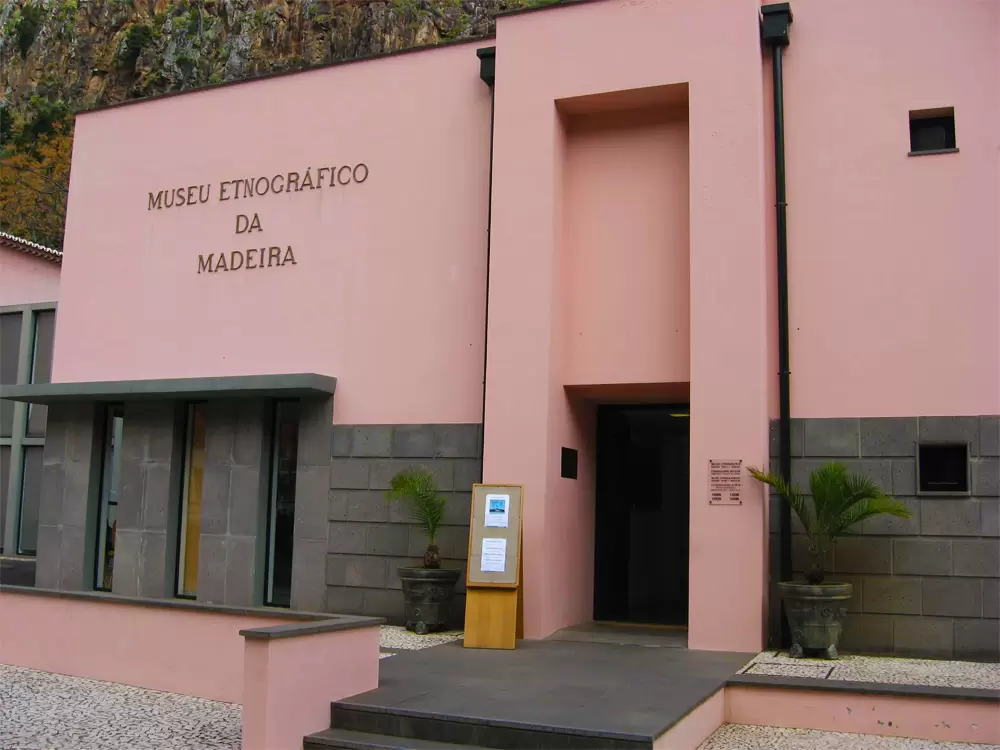
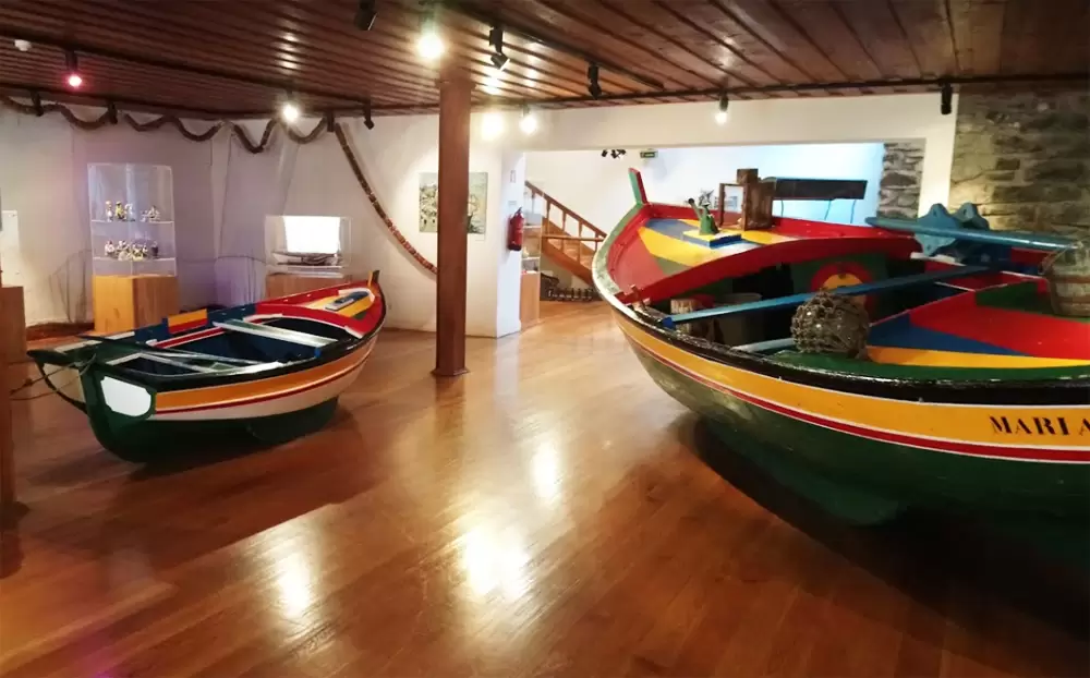
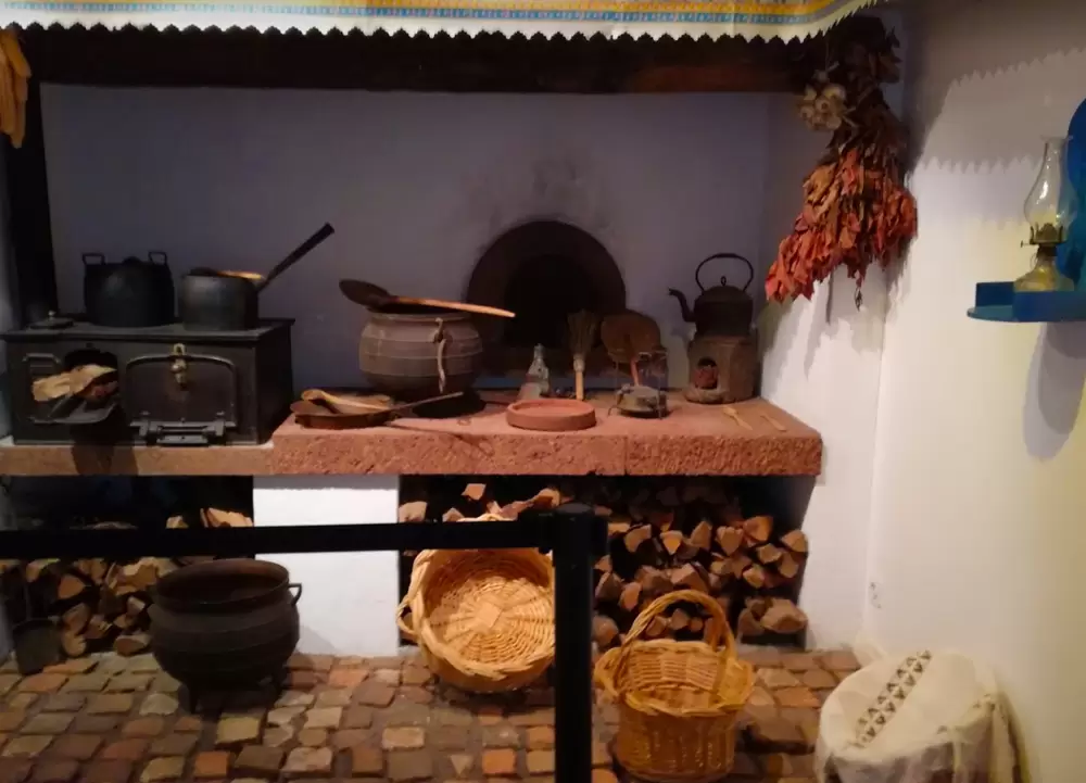
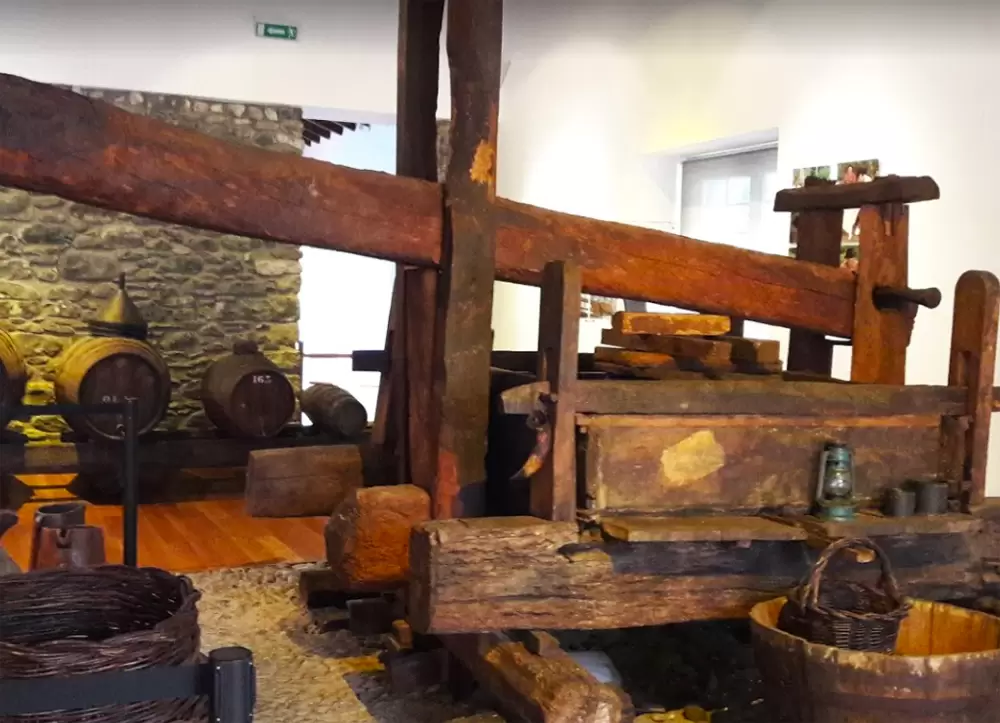
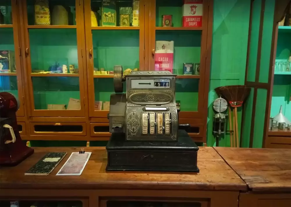
To the north, Rua de São Francisco 24 unveils the Madeira Ethnographic Museum in a 16th-century building – in the past, it was a rum distillery and later a cereal factory.
- Coordinates: 32.672859, -17.063382
The small museum invokes customs from centuries past: thematic rooms dealing with fishing, wine culture, trade, in short, how people used to live in Madeira.
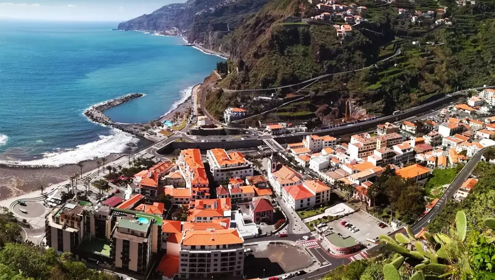
Ponta do Sol
- Coordenadas: 32.689529,-17.089852
To the west, along the ER222, the village Ponta do Sol is one of the sunniest places on the island. Its baroque church, Nossa Senhora da Luz, was built in the 18th century. Inside, it has beautiful 18th-century tiles.
- Coordinates: 32.680037, -17.104769
A plaque in a neighbouring house marks the birthplace of the grandparents of the American novelist John Rodrigo dos Passos (1896-1970). He is descended from immigrants from Madeira and is known for his novels The 42nd Parallel and U.S.A. Trilogy.
- Coordinates: 32.679507, -17.105176
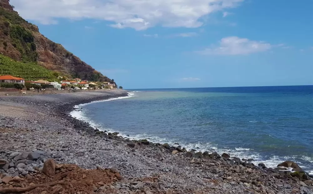
Ponta do Sol Beach, on the coast, consists of little more than a stretch of grey stones, but the seafront is perfect for a drink at the poente restaurant counter. To the north, the regional road uncovers the start of the footpath that climbs up to Levada do Moinho.
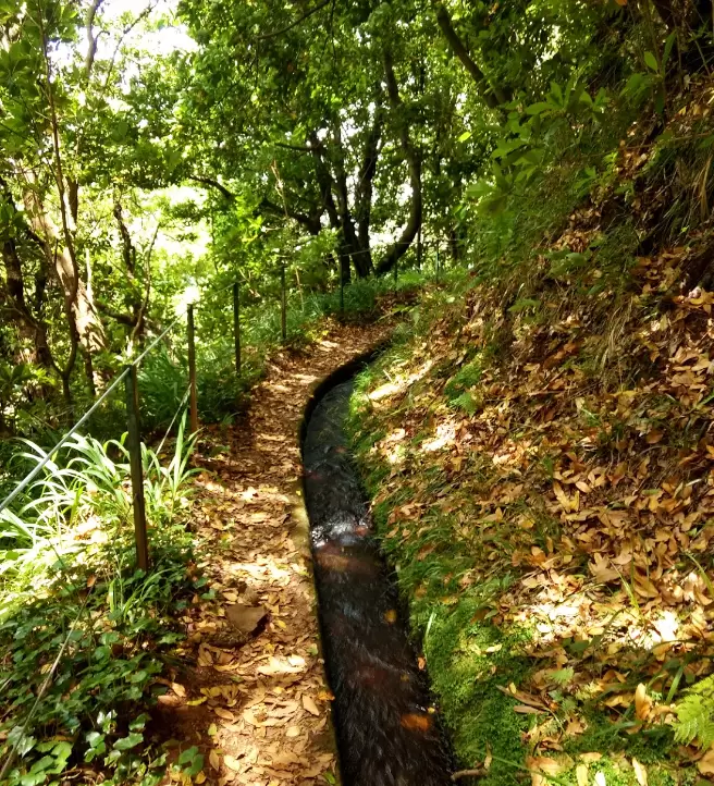
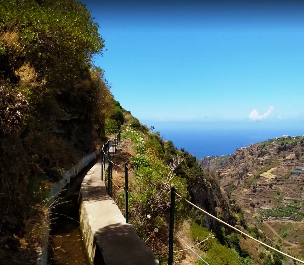
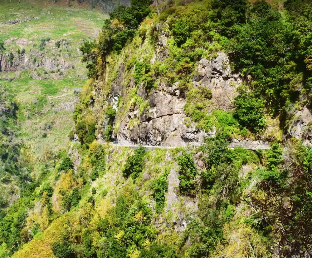
- Coordinates: 32.689534, -17.091519
In the past, there were water mills along the route. It culminates in a beautiful waterfall. It is a 10 km walk (3 and a half hours)
Madalena do Mar
- Coordinates: 32.701642, -17.133511
Madalena do Mar is located 10 minutes from Ponta do Sol. It is said to have been founded by King Ladislaus III of Poland.
According to legend, the king travelled to the Holy Land after being defeated at Varna (Bulgaria) in the early 15th century. He was appointed a Knight of the Order of Saint Catherine of Mount Sinai in the Holy Land.
In the archives of the Order of the Teutonic Knights of St Mary of Jerusalem, a passage was found (from 1472) stating that King Ladislaus III lived in the “islands of Portugal”, and he married a local woman.
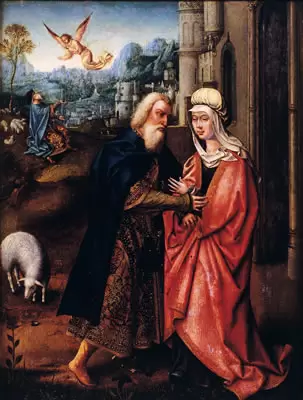
The Portuguese kings and Prince Henry concealed his identity: he was known as Henry the German, the knight of St Catherine. A painting in the Museum of Sacred Art in Funchal is said to depict Wladislaw and his wife in the guise of “Meeting St. Joachim and St. Anne by the Golden Gate”.
He died at sea off Cabo Girão, and his body is in the Santa Catarina Church – parts of which date back to 1457.

- Coordinates: 32.701561, -17.133628
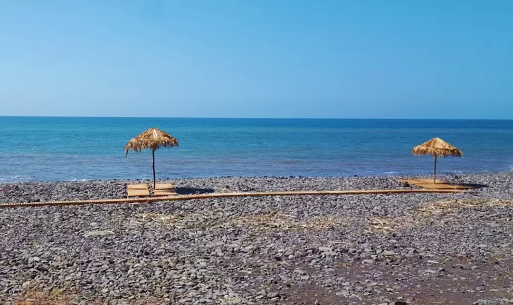
The house where Ladislaus II is said to have lived is just below the church – the only one with a coat of arms on the door. The parish culminates at the pebble Madalena do Mar beach: quiet with changing rooms and a bar.
- Coordinates: 32.702912, -17.137705